
NEW YORK (1010 WINS/WCBS 880) – A summer-like Memorial Day is on tap for Monday, but the holiday weekend kicks off with heavy thunderstorms that could bring drenching rain and damaging winds to the New York City area.

Friday is cloudy, humid and warm with a couple of showers and thunderstorms starting in the afternoon. The high will be 77.
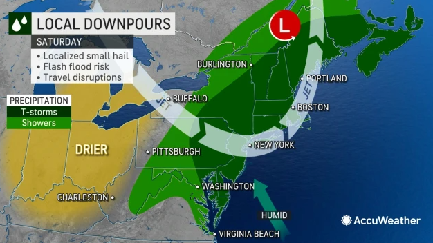
The stormy weather will continue into the evening and could include downpours, strong winds and hail. Lows will dip into the mid 60s overnight.
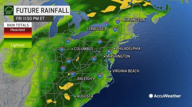
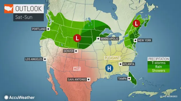
Showers and possibly a heavy thunderstorm will pop up again Saturday morning, and another storm can’t be ruled out in the afternoon.
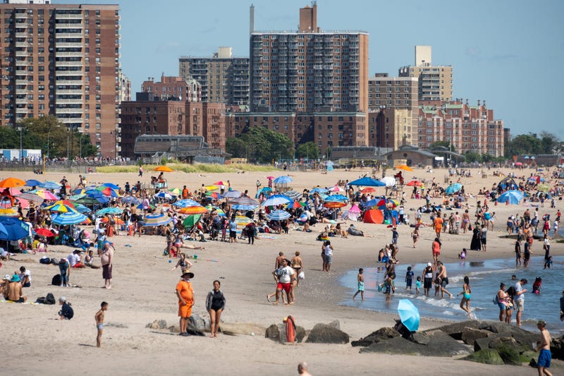
It’s otherwise a mix of sun and clouds Saturday, when New York City beaches re-open for swimming this summer. The high will be 77.
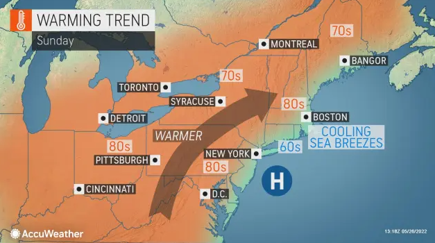
Spectacular weather arrives Sunday, when it will be partly sunny and warm. Highs will near 80 in the city and inland, while the beaches will stick to the low 70s.
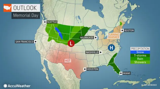
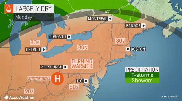
It’s partly sunny to kick off the unofficial start to summer Monday, with a high of 86 in the city. Some inland suburbs could see highs in the low 90s. It’s cooler at the beaches, where highs will be in the 70s.
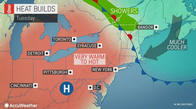
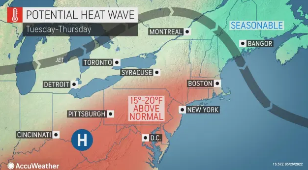
The heat will crank up Tuesday, when it will be very hot and humid with highs over 95 in the city. AccuWeather RealFeel temps in the five boroughs could top a sticky 100 in the afternoon.
Temps remain in the 80s on Wednesday and Thursday as the summer-like weather sticks around.