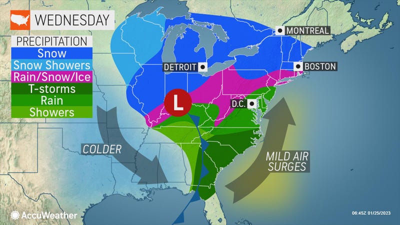

NEW YORK (1010 WINS/WCBS 880) – New York City was seeing a splash of snow Wednesday afternoon, but it likely won’t be enough to break the city’s near-record snowless stretch, with rain set to quickly replace the white stuff for a wet and windswept night.
While winter weather advisories will be in effect Wednesday for parts of northern New Jersey and the Lower Hudson Valley, wind and flooding will be the main concerns in the five boroughs and on Long Island.
When all is said and done, Central Park is unlikely to see any measurable snow Wednesday, according to AccuWeather.
That means the city is closing in on the record for its latest-ever snowfall, set on Jan. 29, 1973.
The city may also break a record for its longest stretch without measurable snow. Tuesday was the 321st day without measurable snow in the city. The record to beat is 332 straight days, which is less than two weeks away.
Snow started falling in the city just before 2 p.m., with sizable flakes seen in Lower Manhattan.
Areas around the city could see a coating to an inch of snow before a changeover to rain by evening.
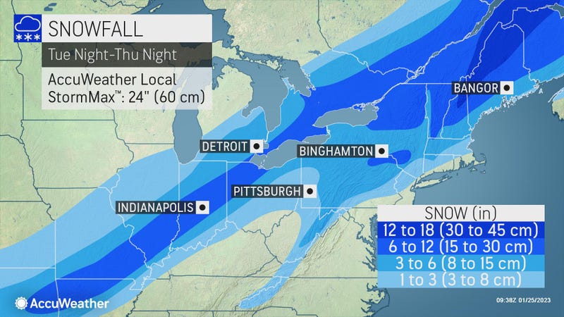
Communities beyond Interstate 287 have the highest chance of seeing significant snowfall, most likely 1 to 3 inches before the overnight changeover.
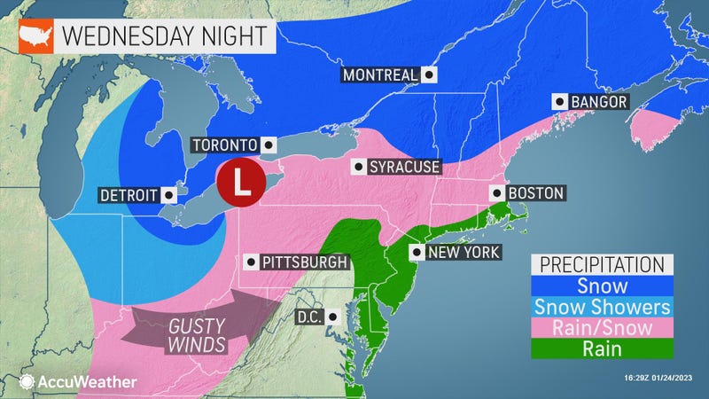
Wind and rain, heavy at times, move through overnight. A thunderstorm isn’t out of the question amid the heavy downpours and gusts of up to 50 mph.
The strongest gusts will be on Long Island, where there is also a risk of coastal flooding.
Temps rise from the 30s Wednesday to near 50 overnight in the city.
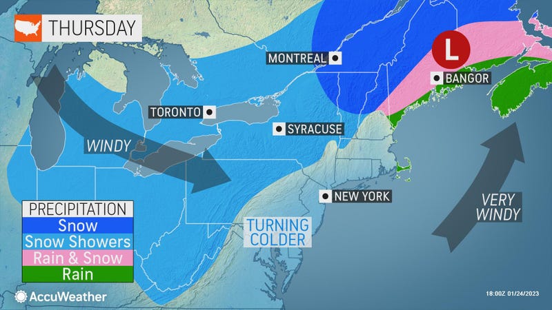
New Jersey and Hudson Valley commuters should prepare for slippery, slushy conditions Thursday morning.
Thursday will be windy and chilly with clouds. Highs will be in the 40s with RealFeels in the 30s.
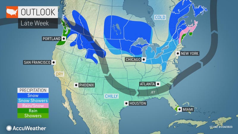
Friday is brisk and colder with sun and some clouds. The high will be 39.
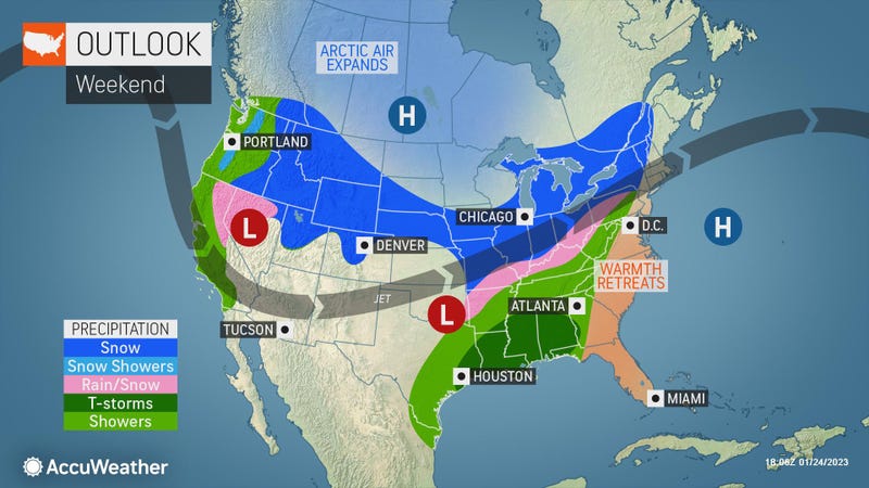
It will stay dry for most of the weekend with partly cloudy skies on both Saturday and Sunday. Highs will be in the mid-to-upper 40s.
Related

Related

Related
