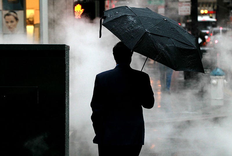

Despite light showers on Wednesday, the Bay Area may be graced with a major storm later this week.
Weather officials report that a large atmospheric river is intensifying off the coast, threatening to release up to 5 inches of torrential rain this weekend and some gusty winds.

"(We are) expecting 3.00"-5.00" rainfall amounts along the coastal ranges with 1.00"-3.00" totals elsewhere," the National Weather Service said. "Strong winds will likely accompany the slow moving frontal boundary as it moves southward across the region."
The atmospheric river is hitting California in three storms, each progressively stronger, with the biggest storm late Saturday night into Tuesday. The first storm made landfall early Oct. 20, bringing an inch of rain to coastal ranges in Sonoma and Marin counties and .10 inches of rain to lower elevations.
The rain is expected to ease some drought conditions, but Erik Ekdahl, deputy director for the State Water Resources Control Board, reminded Californians that it is not a permanent fix. "One storm is great, but we're going to need a couple to get us back to a robust and healthy storage condition," he said at a board meeting, collected by KPIX.
Due to multiple burn areas, officials warned that mudslides may occur. "We're looking at a medium risk for debris flows," Andy Bollenbacher, meteorologist at the National Weather Service, said to the Washington Post. "We've been messaging that for the burn scar of the Creek Fire."
Related
