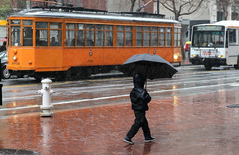

A powerful winter storm is taking aim at the Bay Area as weather experts forecast rainfall of up to eight inches.
Friday night's frigid temperatures made way for the first of three storm systems headed towards the Bay Area late Saturday night. The atmospheric river is expected to initially hit Sonoma County in the early hours of Sunday morning and then will intensify and move southward.

"The next couple days what we'll see is we'll actually get a cold front drop in from the North and then that’s going to stall out somewhere around the South Bay," Brian Garcia, forecaster with the National Weather Service, told KCBS Radio. "Once that stalls out it's essentially going to pave the road for all the moisture from the subtropics to ride along that and really kind of hammer the Santa Cruz mountains."
Coastal mountain ranges may see six to eight inches of rainfall through Tuesday while lower-lying areas will receive closer to one or two inches, Garcia said.
Two more storms are forecasted to arrive throughout the week accompanied with a flurry of snow in the Sierras, strengthening the vital snowpack. "A couple of the ski areas are talking upwards of 60 plus inches of snow over the course of this entire storm," Garcia said.
PG&E emergency crews are ready to respond to any power outages caused by the atmospheric river.
Related
