
SAN FRANCISCO (KCBS RADIO) – Cold, rainy, windy and even snowy weather is headed to the Bay Area. It's time to get out your umbrella and a parka too.
For more, stream KCBS Radio now.
Monday morning it measured 43 degrees in the North Bay's Corte Madera. Meteorologist David King with the National Weather Service told KCBS Radio this unusual cold front began with wind.
"The weather system starts to approach today and out ahead of it before it arrives we’re going to have strong north north-westerly winds that are going to arrive this afternoon," King explained. "At the highest elevations, that’s where the strongest gusts will be."
He said areas of high elevation will see 55 or even 60 mile per hour winds. Because of saturated soils, that could mean downed trees and branches and possibly a power outage.
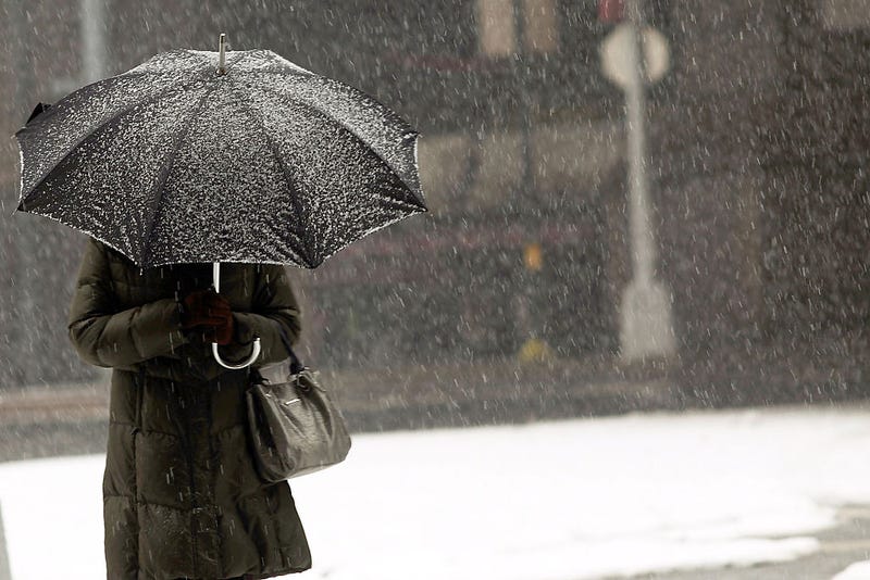
Precipitation begins in the Bay Area on Tuesday and will lead to heavy rainfall on Thursday going into Friday. It will be so cold that snow is likely in some parts of the Bay.
"1,500 feet is going to be the best chances for that. Now the Sierra is forecasting to have a couple feet of snow, in our area most areas are going to get just a couple of inches," King said.
The Santa Lucia mountain range in Monterey County near Big Sur has the largest chance to see over a foot of snow. For those heading to the Sierra this weekend, expect heavy snow, winds and possible road closures.
DOWNLOAD the Audacy App
SIGN UP and follow KCBS Radio
Facebook | Twitter | Instagram
Related
