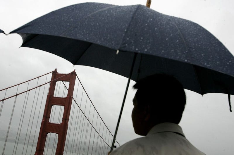

SAN FRANCISCO (KCBS RADIO) – The Bay Area is bracing for another atmospheric river today, which will bring high winds and flood warnings to an already drenched California.
For more, stream KCBS Radio now.
National Weather Service Meteorologist Roger Gass told KCBS Radio that the rain will continue across the Bay Area throughout Tuesday morning, explaining that the brunt of the storm is still approaching.
"We are expecting around an inch of rain total across San Francisco Bay Area," Gass forecast. "Some of the interior valleys may see less than that, maybe even less than a half of an inch."
Wind gusts of up to 50 miles per hour will be common Tuesday, while areas of higher elevation may see gusts of up to 70 miles per hour. "The Bay Area really needs to be worried about the strong winds later today, or later this morning, as we could see some more trees down and power outages," he warned.
Mudslides and minor landslides are possible, and a rise in water level in creeks and rivers is expected.
After this system blows through, the Bay Area will receive a much needed break from the atmospheric downpours. Some light rain is forecast to hit the area over the weekend, which may lead into a stronger storm next week.
In the Sierra, high elevations are seeing continual heavy snowfall. "Atmospheric rivers such as this normally are warmer, so it's really going to be those elevations of about 6,500 feet one to three feet of snow, up to five feet in those highest elevations above 8,000 feet," Gass said.
DOWNLOAD the Audacy App
SIGN UP and follow KCBS Radio
Facebook | Twitter | Instagram
Related
