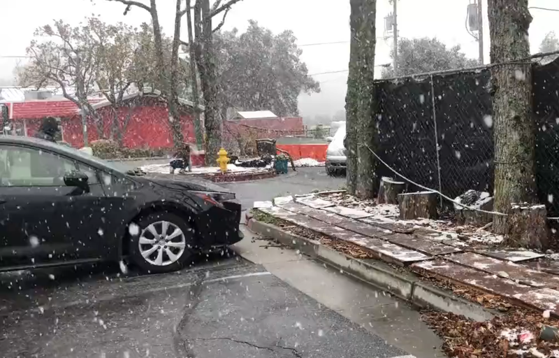

SAN FRANCISCO (KCBS RADIO) – First it was wind, then a little rain and now snow is falling in a handful of places around the Bay Area.
For more, stream KCBS Radio now.
National Weather Service Meteorologist Roger Gass told KCBS Radio, snow has been seen at elevations as low as 500 feet.
"We do have some rain showers moving into the San Mateo coastline right now, just south of the city of San Francisco. Just a little bit further to the south in Santa Cruz Mountains, we are seeing some snow showers in those higher elevations. We just had a report on social media of snow making it down to about 500 feet in elevation around Boulder Creek," he said.
In the Santa Cruz Mountains and the East Bay Hills around Mt. Diablo and Mt. Hamilton, residents should expect anywhere from 6 to 12 inches of snow at the highest peaks.
"Snow showers this morning are going to really increase in coverage throughout the day today and more so tonight, as we're going to see some higher snow amounts beginning to pile up as we head into the overnight hours," Gass explained.
The last time the Bay Area saw low elevation snow was in 2001. It is rare for the area to have temperatures low enough and ample moisture in the air to produce snow.
"We don't deal with snow across this region so if there's snow on any of the passes up to the Santa Cruz Mountains into the East Bay, we need to be careful," the meteorologist warned drivers.
In the North Bay, snow is forecast to fall later in the day and through the night at elevations of 1,000 feet. To provide some context, Mount Tamalpais in Mill Valley stands at 2,579 feet, while Bald Hill in San Anselmo is 1,145 feet.
Further North, the Sierra is expected to receive a few feet of snow. "Definitely going to be hazardous travel across most of the state, pretty much all of the state, through the end of the week," Gass said.
DOWNLOAD the Audacy App
SIGN UP and follow KCBS Radio
Facebook | Twitter | Instagram
Related
