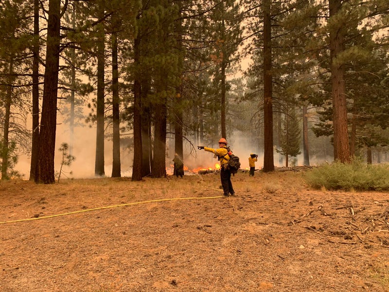

They may be over 200 miles away, but San Jose State University researchers are still finding a way to aid crews battling the destructive Caldor Fire through the use of new predictive technology.

Real time wildfire computer modeling called "WRF-SFire" is being utilized by wildfire researchers at the school to forecast where the Caldor Fire, the 15th largest blaze in state history, will burn next.
The model predicts both the weather and the path of the fire, pulling data from multiple sources, including satellite imagery, according to Craig Clements, Director of the Wildfire Interdisciplinary Research Center at San Jose State.
"It’s very high resolution, it brings in all sorts of data from satellite, fuel moisture, and weather station data and everything, so we can actually get a good handle what we can expect in the next minute, in the next hour, in the next day or two," he explained.
The software simulates the fire, the atmosphere and how wildfires create their own weather.
"We can predict where these crazy fires are going in real time and ahead of time, to give firefighters a better advanced notice how things are going to evolve in changing conditions," Clements said.
WRF-SFire has helped predict the movement of the Caldor Fire into the Tahoe Basin as well as how smoke pollution is affecting communities around the fire zone.
Researchers hope this powerful technology will give fire crews the edge they need as they race to contain the Caldor Fire.
Related
