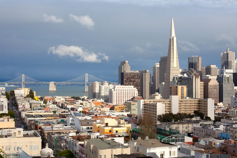

If a once-in-a-millennium tsunami hit the Bay Area, more of the waterfront would be engulfed than scientists previously thought.
However, new tsunami hazard maps created by the California Geological Survey that show people how to find out if they’re in a vulnerable area and how to get to safety, might mean only walking a few blocks for San Franciscans.
On Thursday, the California Geological Survey released new tsunami hazard maps for San Francisco, Contra Costa and Santa Clara counties, along with several in Southern California, for the first time since 2009.
The interactive maps show there’s more of a flooding risk in San Francisco’s downtown, Marina and North Beach neighborhoods and areas around the Port of Richmond, than previously thought.
The maps are a simulation of a worst-case scenario: a tsunami resulting from a magnitude 9.3 earthquake in the eastern Aleutian Islands off of Alaska, which presents the greatest risk of destructive waves hitting Central California.
But according to reporting by the San Francisco Chronicle, such an event would be extremely rare — and would take five hours to reach the Bay Area, so there would be time to warn people to get to safety, said Rick Wilson, senior engineering geologist at the California Geological Survey, part of the state Department of Conservation.
"So 99% of the time we’re not going to see this tsunami," said Wilson, a member of the team updating the maps. "But it’s good to prepare for the worst and hope for the best."
In March, the state released updated tsunami hazard maps for San Mateo and Alameda counties, and will do the same for the rest of the Bay Area and state by early next year.
If an earthquake occurs that could cause a tsunami, the National Tsunami Warning Center provides alerts, as do local governments.
The maps from the California Geological Survey are meant to warn people in advance if they’re in a tsunami hazard zone and how far they’d need to go to reach safety.
"You don’t have to run to the mountains to be safe," Wilson said.
Related
