
High pressure in the upper levels of the atmosphere will continue to dominate our weather through next Monday. Daytime highs will be in the low possibly midnight 90s into the weekend, with morning lows in the upper 60s to low 70s.

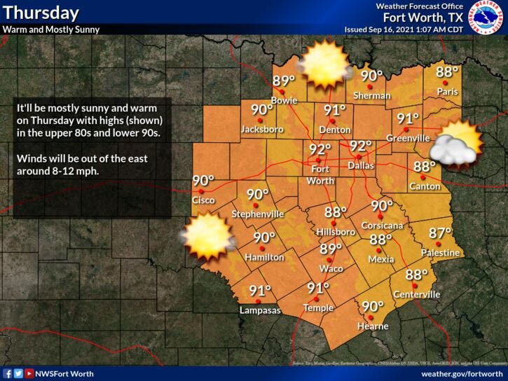
By Tuesday afternoon or evening, our 1st decent cold front in a while will arrive. It may produce a few showers and storms as it pushes through, but the bigger weather story will be the much drier air that filters in behind it. Daytime highs will be in the 80eighties on Wednesday and Thursday, with morning lows possibly in the upper 50s in the outlying areas by Thursday morning.
Fall officially arrives on Wednesday and the State Fair of Texas opens up a week from this Friday! It's getting to be that time of the year.
*Yest Rain: 0.00”; *Yest High: 90; Low: 68
*Today’s Averages: High: 89; Low: 69
*Record high: 102 (1900); Record low: 50 (1903)
*September rain: 0.18”; September deficit: 1.31"
*2021 Rain: 27.02”; 2021 surplus +0.98”
*Sunrise: 7:13am; Sunset: 7:32pm
Today: Partly cloudy and hot. High: Low 90s. Wind: ESE 5-10 mph.
Tonight: Fair and breezy. Low: 68-72. Wind: ESE 5-10 mph.
Tomorrow: Mostly sunny, and hot. High: Low 90s. Wind: ESE 5-10 mph.
Weekend: Mostly sunny and continued hot. Highs: Low to mid 90s.
Monday: Partly cloudy, breezy and hot. High: Low 90s.
Tuesday: Increasing clouds. Chance of showers and storms along cold front. High: Upper 80s.
Wednesday: Morning showers, becoming partly cloudy and cooler. Dry air filters in. High: Low to mid 80s.
Related

LISTEN on the Audacy App
Sign Up and Follow NewsRadio 1080 KRLD