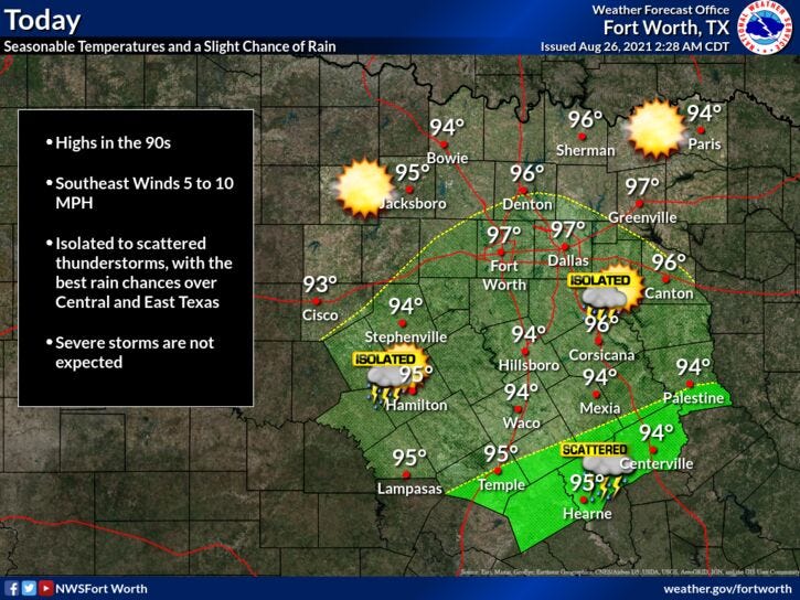

Temperatures this morning are back in the seventies and nothing is showing up on RadarOmega. That will change today through the weekend as scattered showers and storms will form and drift northwest through each afternoon.
Daytime highs will be on the upper 90s today, mid 90s tomorrow, and low 90s this weekend.
Our attention then shifts to the tropics. A large area of disturbed weather continues to get organized in the central Caribbean at this hour. Air Force Reconnaissance Aircraft are scheduled to investigate this system this afternoon if necessary. If a low level circulation is determined, we will have a tropical depression on our hand and eventually a named tropical storm once the wind gets over 39 mph. Its movement is northwest through the Caribbean and will most likely shoot the gap between Cuba and the Yucatan early this weekend. As it emerges into the western Gulf of Mexico, a strong hurricane will most likely form. Residents from the upper Texas coast to the Florida Panhandle need to keep an eye on the system, as a strong hurricane will impact your weather early next week. If I were a betting man, I would bet on Louisiana taking a direct hit Monday. If this occurs, we will see no rain or wind in north and temperatures will be well above average. Some areas may hit 100゚ by the middle of next week.
*Yest Rain: 0.00”; *Yest High: 98; Low: 75
*Today’s Averages: High: 94; Low: 75
*Record high: 106 (1999, 2011); Record low: 60 (1926)
*August rain: 4.82”; August surplus: +3.17”
*2021 Rain: 26.84”; 2021 surplus +2.82”
*Sunrise: 6:59am; Sunset: 8:00pm
Today: *Air Quality Alert* Partly cloudy and hot. A few late day storms. More numerous south of I-20. High: Upper 90s. Heat index: 102-104. Wind: East 10-15 mph.
Tonight: Clear and muggy. Low: Mid to upper 70s. Wind: ESE 5-10 mph.
Tomorrow: Partly cloudy and hot. A few late day showers and storms. High: Mid 90s. Heat index: Near 100. Wind: SSE 10-20 mph.
Weekend: Partly cloudy, hot and humid. A few late day showers and storms. High: Low 90s.
Monday and Tuesday: Watching tropics. Partly cloudy and hot. Slight chance for a late day storm. High: Low to mid 90s.
Wednesday: Mostly sunny and hot. High: Upper 90s.
Related
