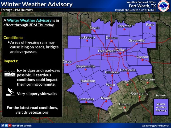

The National Weather Service issued a Winter Weather Advisory until 6 a.m. Thursday.
Areas of freezing drizzle and light freezing rain will continue across much of North Texas through Wednesday, resulting in light icing on elevated roads, bridges, and overpasses.
The National Weather Service urged caution while driving.
Just about everybody is at or below freezing this morning. Temperatures range from the mid twenties to the low thirties. Most of us will struggle to get above freezing today.
Pockets of very light freezing drizzle and light freezing rain will continue to work its way across the area from southwest to northeast.
Right now it's pretty quiet, but we should start to see an enhancement of freezing drizzle/light freezing rain to the west southwest of us in the the next hour or two. It will be moving to the northeast impacting north Texas through the morning...Radar trends will tell all.
After today's event, round number 2 arrives late this evening and into tomorrow.. Freezing rain, sleet, and possibly some thunder will impact us... Temperatures will remain below freezing... so any precipitation fall that falls will just make matters worse.
We could see a quick round of wintry mix early Friday.. as the next surge of cold air arrives. Temperatures will hover in the twenties.
Another round of wintery mix affects us on Saturday, as the coldest of air arrives in the morning. Temperatures will tumble through the teens by evening.
A break in the precipitation most of Sunday before a stronger system brings a good chance for measurable snow Sunday night and into Monday.
It'll stay bitter cold through at least next Thursday. Coldest temperatures will be Monday, Tuesday and Wednesday morning. Some data has readings getting slightly below 0!
We must likely won't get above freezing until next Friday.
Yesterday’s High: 39; Low: 30*
Today’s Averages: High: 59; Low: 38
*Records: High: 85 (1954); Low: 15 (2011)
*Yesterday’s rain: Trace; Feb. rain: 0.01”; Feb. deficit: ”0.74
*2021 Rain: 0.86”; 2021 Deficit: ”2.02
*Sunrise: 7:16am; Sunset: 6:09pm
Today: Winter Weather Advisory until noon (north and west of DFW). Areas of drizzle/freezing drizzle. Cold! High: 29-34. Wind: North 10-20 mph.
Tonight: Cloudy with areas freezing drizzle, light freezing rain and sleet. Low: Low 24-29. Wind: North 10-20 mph.
Tomorrow: Pockets of freezing drizzle, freezing rain and sleet. Cold! High: Low 30s. Wind: North 10-20 mph.
Friday: Morning wintry mix, then cloudy and cold. High: Upper 20s.
Saturday: Cloudy and turning VERY cold by morning. Wintry mix through the day. High: Near 30 early, falling into the teens by late evening.
Sunday: Mostly cloudy and cold. Snow by evening. High: Low 20s. Windchills: Single digits!
Monday: Chance of snow. Low: 5-10; High: Low teens.
Tuesday: Partly cloudy and cold. High: Mid to upper teens.