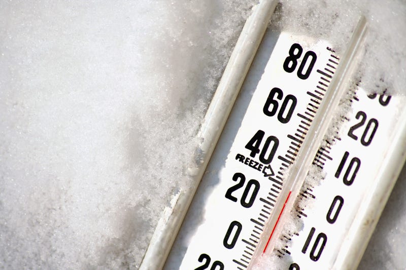

AUSTIN (Talk1370.com) -- Winter is making its presence known in Central Texas, as the first of several rounds of wintry precipitation has coated much of the area with a thin glaze of ice, ahead of days of temperatures near or below freezing, what is shaping up to be a significant snow event, and likely the coldest temperatures the area has seen in more than 30 years.
Current watches/warnings/advisories:
WINTER WEATHER ADVISORY in effect until 10am for the entire Austin metro area...
Related

Spotty freezing rain and drizzle will come to an end Friday morning, with temperatures hopefully rising above the freezing mark this afternoon.
The icy conditions caused numerous travel issues Thursday morning and afternoon, especially on elevated roadways and freeways around the area. More than two dozen vehicles were involved in a pileup around 8:30 a.m. Thursday on the eastbound lanes of the SH 45 toll road just west of Parmer Lane. A total of 32 people were involved in that pileup, according to Austin-Travis County EMS, with a total of 5 people being transported to area hospitals.
Reinforcing shots of cold Arctic air expected to keep moving into the area as we move into the weekend, sending temperatures dropping as we move towards Monday and Tuesday.
Texas Department of Transportation crews began to pre-treat Austin area roads on Wednesday, ahead of the possible frozen precipitation Thursday morning. The agency says its crews will continue to monitor roadways throughout this extended event and re-treat spots as needed.
Parts of the Hill Country could be below freezing for 48 to 72 hours between Saturday evening and some time Tuesday, with some forecast models even pushing the Austin area into the teens on Monday and potentially the single digits early Tuesday morning.
If the coldest forecast model were to pan out, it could be the lowest temperatures the area has seen in more than 30 years, when a pre-Christmas Arctic blast sent temperatures tumbling down to 4 degrees at Camp Mabry on Dec. 23, 1989. Our next coldest blast happened in 2011, when temperatures fell as low as 17 degrees in Austin.
While temperatures may not get quite as cold as the 1989 Arctic blast, the bottom line is that there is still a good amount of uncertainty and disagreement on the forecast and just how cold temperatures will get.
Low pressure systems moving through will bring a chance of precipitation to the area. A system moving through the state on Saturday will bring a chance that could be rain mixed with sleet, freezing rain, or even snow.
A more significant system will move through late Sunday into Monday, which may drop inches of snow across Central Texas. Forecast models are currently calling for as much as 3-4 inches of snow across a wide swath of the metro area, including Austin.
The precipitation forecast, particularly the timing, will also continue to solidify as we get closer to the weekend.
Make preparations now to make sure that the four P's are being taken care of this weekend - pets, pipes, plants, and people.