
CHICAGO (WBBM NEWSRADIO) - A Winter Storm Warning from the National Weather Service remains in effect today for the entire Chicago area and will run until 6 a.m. tomorrow.
The warning covers all area counties- Lake, DuPage, Cook and Will Counties. The dangerous element now to the second leg of this winter storm will be the strong winds and bitterly cold temperatures.
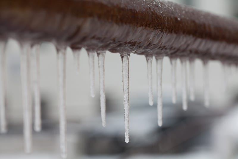
The forecasted high temperature today will be 2 below zero, according to AccuWeather. Winds out of the west could gust to as much as 40 mph and cause the 2-3 inches of snow that fell yesterday to blow and cause hazardous driving conditions. Wind chill values will sit at 35-40 below zero. The National Weather Service notes wind chill levels this low can produce frostbite on exposed skin in as quickly as 20 minutes.
Today's frigid cold could reach historic levels. Today would be the first subzero high temperature in December since 1983, when the high was 5 below zero on Christmas Day.
The harsh cold will stick around throughout the weekend. AccuWeather is calling for a high of 9 degrees on Christmas Eve, and on Christmas Day, the area will reach a high of 14.
Believe it or not, an unseasonably mild pattern is around the corner, and by Wednesday, Chicago could see temperatures in the 40s.
Listen to WBBM Newsradio now on Audacy!
Sign up and follow WBBM Newsradio
Facebook | Twitter | Instagram
Related

Related
