
CHICAGO (WBBM NEWSRADIO) - Get ready to ride the wave. Today begins a two-day stretch of extreme and potentially dangerous heat.
The National Weather Service has issued an Excessive Heat Warning for Illinois Counties such as Cook, DuPage, Lake, Kane, Will, McHenry, DeKalb, Kendall, Grundy, and Kankakee. The warning takes effect at 11 a.m. and extends until 8 p.m. Thursday.
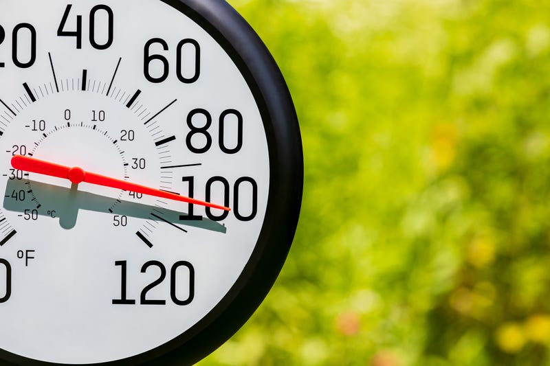
Today, high temperatures are expected to surpass the 76-year-old record of 97 degrees, and, combined with a high level of humidity, conditions will be oppressive. Peak heat indices will range from 105 to 115, the NWS says.
With conditions this hot, the NWS warns the risk of suffering heat related illnesses, such as a heat stroke, grows significantly.
There won’t be much relief overnight. At best, lows will only fall into the upper 70s and heat indices will remain in the 90s.
Believe it or not, tomorrow could be even hotter. AccuWeather forecasts inland air temperatures to surpass 100. Depending on the timing of a cold front, areas closer to the Lake could see cooling by the afternoon.
Related

There is an end in sight to this heat wave.
Friday, it will remain humid, however a newly arrived cold front will cause temperatures to gradually fall into the 80s.
Expect a comfortable weather weekend. Conditions will be pleasant, AccuWeather says, with bountiful sunshine and highs in the uppers 70s.
Listen to our new podcast Looped In: Chicago
Listen to WBBM Newsradio now on Audacy!
Sign up and follow WBBM Newsradio
Facebook | Twitter | Instagram
Related
