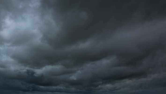

(WBBM NEWSRADIO) -- Several brief tornadoes were reported as severe thunderstorms with damaging and hail moved through the Chicago area Monday, according to meteorologists.
Storms that caused hail and downpours moved across the area at 15 mph to 20 mph, prompting a severe thunderstorm warning that went in effect in Cook and DuPage counties until 8 p.m., according to the National Weather Service.
A few brief tornados may continue but will weaken throughout the night, the weather service said.
The storms could produce localized flooding as it continues to rain in the same areas, the weather service said.
A tornado watch was issued until 10 p.m. for several counties, including Cook, DeKalb, Grundy, Kane, Lake, Will and McHenry, the weather service said.
The system was expected to move through Rockford, Elgin, Joliet, Waukegan, Chicago, northwest Indiana and other areas near the lakefront, the weather service said. Storms were expected to move out of the area by midnight.
More storms could be in store for Tuesday, mainly after 1 p.m., according to the weather service. Temperatures were also expected to climb into the 90s Tuesday.
The rest of the week will stay hot, with high temps above 85 degrees Wednesday and Thursday before a slight cool-down on Friday.
Click here to go to the Weather Page for the latest information.
(Source: Sun-Times Media Wire & Chicago Sun-Times 2021. All Rights Reserved. This material may not be published, broadcast, rewritten, or redistributed.)