

Buffalo, N.Y. (WBEN) - A punishing blizzard has finally exited the Buffalo metro area, leaving in its path paralyzed communities, streets littered with cars and tales that will be told for generations.
"It may go down as one of the worst in history," said New York Governor Kathy Hochul during a Christmas Eve briefing on the storm, which has impacted Buffalo as well as a larger portion of New York State.
Drifts by the foot have locked residents inside their homes and businesses since Friday and have forced many to make their cars home for Christmas until snow can be cleared and emergency crews can get to their vehicles.
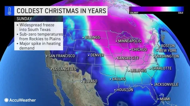
Overnight into Christmas Day, the punishing and narrow lake effect snow band has finally settled southward, targeting the traditional snow belt with its fury, potentially set to pile up a couple feet there before finally weakening.
Forecasters at The National Weather Service have been tracking the intense band since it developed Friday. "This band will lock into place and produce a relatively narrow area with heavy accumulations around 2 feet," forecasters say. "This band should focus on the traditional snow belts, extending along the Lake Erie shoreline to Silver Creek, Hamburg, and East Aurora. This will move the band out of hardest hit areas, but still will have significant impacts on travel in these area, including Interstate 90."
Conditions, forecasters says, across the Buffalo metro area will finally give municipal crews a window to begin making passes and clearing roads that have been blocked since Friday. "Blowing snow will be an issue, but with winds diminishing expect that widespread blizzard conditions will end."

.
BLIZZARD WARNING IS REPLACED BY A WINTER STORM WARNING WHICH IS IN EFFECT UNTIL 4 AM EST MONDAY
* WHAT...Lake effect snow and blowing snow. Additional snow accumulations of 1 to 2 feet in most persistent snows. Winds gusting as high as 40 mph.
* WHERE...Erie and Genesee counties. Greatest additional accumulation will be across southern Erie County including the towns of Eden, Hamburg, Orchard Park, and East Aurora.
* WHEN...Until 4 AM EST Monday.
* IMPACTS...Travel could be very difficult to impossible. Areas of blowing snow could significantly reduce visibility.
PRECAUTIONARY/PREPAREDNESS ACTIONS...
Widespread accumulating snow will create dangerous travel conditions.
WINTER WEATHER ADVISORY IN EFFECT UNTIL 4 PM EST THIS AFTERNOON...
...BLIZZARD WARNING IS CANCELLED...
* WHAT...Blowing snow. Winds gusting as high as 45 mph.
* WHERE...Niagara and Orleans counties.
* WHEN...Until 4 PM EST this afternoon.
* IMPACTS...Plan on difficult travel conditions due to the heavy snowfall from yesterday, and areas of blowing snow which could significantly reduce visibility.
PRECAUTIONARY/PREPAREDNESS ACTIONS...
Periods of snow will result in snow covered roads and limited visibilities. Slow down and use caution while driving.
WINTER STORM WARNING REMAINS IN EFFECT UNTIL 1 AM EST MONDAY
* WHAT...Heavy snow. Additional snow accumulations of 8 to 16 inches. Winds gusting as high as 40 mph.
* WHERE...Northwestern Wyoming and far Northwester Cattaraugus counties.
* WHEN...Until 1 AM EST Monday.
* IMPACTS...Travel could be very difficult to impossible. Areas of blowing snow could significantly reduce visibility. The cold wind chills as low as 15 below zero could result in hypothermia if precautions are not taken.
PRECAUTIONARY/PREPAREDNESS ACTIONS...
Widespread accumulating snow will create dangerous travel conditions.
WINTER STORM WARNING REMAINS IN EFFECT UNTIL 1 AM EST MONDAY
* WHAT...Heavy lake effect snow. Additional snow accumulations of 1 to 2 feet. Winds gusting as high as 45 mph. Wind chills as cold as 15 below zero.
* WHERE...Chautauqua county.
* WHEN...Until 1 AM EST Monday.
* IMPACTS...Travel could be very difficult to impossible. Areas of blowing snow could significantly reduce visibility. Gusty winds could bring down tree branches. The cold wind chills as low as 15 below zero could result in hypothermia if precautions are not taken.
PRECAUTIONARY/PREPAREDNESS ACTIONS...
Widespread accumulating snow will create dangerous travel conditions.
Related
