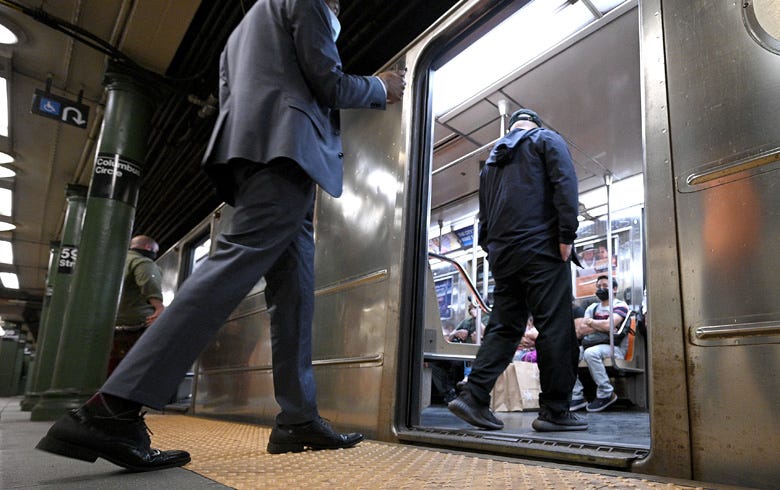

NEW YORK (WCBS 880) — As subways grow more crowded, Google Maps is rolling out a new feature to help riders keep their distance and have some personal space.
Commuters will not just be able to use the app to check how far away the next train or bus is, but can also see in real-time how packed an individual subway car or bus is before getting onboard.
The app will let users know whether their ride is not crowded, not too crowded, crowded, very crowded or at capacity.
The feature is being piloted in New York City and Sydney as Google Maps expands its transit crowdedness predictions to over 10,000 transit agencies in 100 countries, according to a product release.
The app will also let users report on how crowded buses and train cars are.
According to Google, national trends show cars are most likely to be standing room only between 7 a.m. and 8 a.m. in the morning and the best time to score a seat during the afternoon rush hour is at 3 p.m.