
After a record-setting snowfall at MSP for December 21 on Wednesday, the winter storm impacting Minnesota is set to bring extreme cold and high wind gusts both Thursday and Friday.
According to the National Weather Service, 8.1 inches of snow fell in 24 hours at MSP.
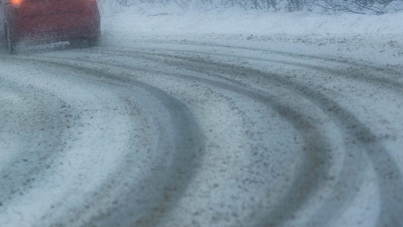
Winter storm warnings, wind chill advisories, and even blizzard warnings remain in effect for most of Minnesota, including a winter storm warning and wind chill advisory for the Twin Cities.
"We set a record for the snowiest December 21 since 1871," WCCO Radio meteorologist Paul Douglas said. "Most spots picked up between 4 and 7 inches. It didn't go up to the upper range of 10. I think most spots were close to that 5 to 8 range."
According to Douglas, the 32 inches of snow has fallen already in the Twin Cities, more than twice what normally falls.
"So far, so good for people who like snow," added Douglas.
Wind will make travel difficult both Thursday and Friday. Peak wind gusts are expected to reach 30 to 35 MPH and 40 MPH on Friday.
"Maybe 45 to 50 miles per hour south and west of the metro. That blizzard warning extends into the western and southern suburbs. Open areas of course more vulnerable, farm land more vulnerable to drifting, than urban areas."
Travel will likely be very difficult throughout the next 48 hours.
"It's going to be hard for MnDOT to keep these roads open," Douglas said. "Friday will be peak blizzard conditions and the concern of course is these wind chills of 30 to 40 below, if you do get stuck. If you walk and try to get help, it could be potentially deadly."