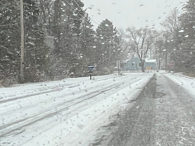

Traffic snarled Monday morning amid a constant snow fall that turned nearly every surface into a slick, slippery mess.
The snow began before the sun came up, and was expected to be heaviest mid- to late-morning, according to Meteorologist Tyler Hassenstein at the National Weather Service office in Chanhassen.
“The higher amounts are expected to remain south of the Twin Cities, maybe in parts of Mankato,” Hassenstein said. “Up here we could see anywhere up to one, one and a half, maybe two inches.”
Commute times more than doubled as crews worked to treat roads. Interstate 35W south into Minneapolis crawled along, as exit ramps and bridges proved most slick.
Hassenstein also said that snow will continue to fall most of the week.
“Pretty much Tuesday, Wednesday, and part of Thursday as well,” he said. “(There will be) very gradual additional light accumulation over the next few days afterwards.”