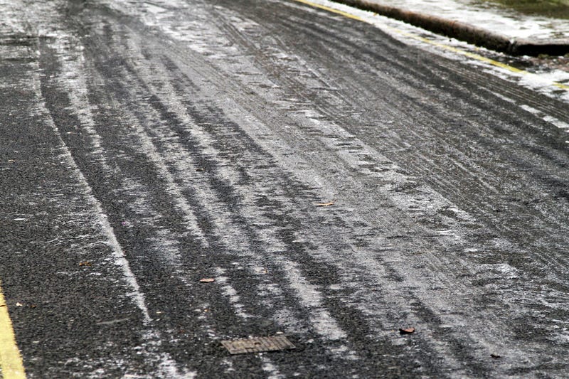

DETROIT (WWJ) – Metro Detroiters are dealing with slick roads Sunday morning after the latest round of winter weather hit the area.
While most of the area isn’t getting much snow, the National Weather Service says freezing rain and sleet will make for dangerous road conditions.
Most precipitation is expected to end by 10 a.m. but that doesn’t mean the end of treacherous roads, according to NWS officials.
“After some subtle warming this morning, temperatures will drop into the 20s. Untreated roads will be slick, especially on bridges and overpasses,” the NWS said in a Special Weather Statement issued for Oakland, Macomb, Wayne, Washtenaw, St. Clair and Lenawee Counties.
The worst of the weather missed Metro Detroit, as parts of West Michigan saw upwards of 9 inches, and Mid-Michigan and the Thumb saw 5-8 inches.
The dicey weather comes after parts of Metro Detroit saw more than a half a foot of snow on Wednesday.
The NWS says as temperatures drop into the 20s on Sunday, Metro Detroiters can expect to see more of that this week.
Daytime highs are expected to fall to the 20s and teens, while lows will reach the single digits Monday and Tuesday night, which will allow wind chills to dip below zero at times.
Stay tuned to WWJ Newsradio 950 for the latest traffic and weather updates every 10 minutes on the :08s. >>> LISTEN LIVE!
Related
