
(WWJ) Stay home if you can.
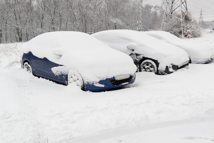
That's the message from Michigan State Police in the Upper Peninsula, as a pre-winter storm has been pounding the northern part of the state.... leaving up to a foot of snow in some areas.
The MSP Wakefield Post (District 8) is urging people to "stay off the roads unless absolutely necessary" due to poor weather conditions on Monday. "Visibility is low and there have already been vehicles in the ditch. Weather across the U.P. has roads snow covered and slippery," police added.
Meanwhile, forecasters warn that powerful winds gusts could reach 40 miles per hour with blowing snow, along the Lake Superior shoreline.
The hardest-hit areas in Northern Michigan Sunday night were Alpena, Grayling and Higgins Lake just south of Grayling.
National Weather Service data says an additional two-inches is expected in central Chippewa County, and western Mackinac County.
The hardest-hit areas Sunday night were Alpena, Grayling and Higgins Lake just south of Grayling. Another inch could fall on top of that Monday in Alpena, Cheboygan, Petoskey, Rogers City and on Mackinac Island, NWS forecasters said.
Meanwhile, down in Southeast Michigan, there's a Wind Advisory in effect until 7 p.m. Monday, with damaging gusts up to 45 mph in the forecast. By early afternoon, DTE Energy crews were already responding to power outages affecting thousands.
AccuWeather says snow showers could make travel difficult in the afternoon in metro Detroit, with reduced visibilities and slick roads.
Related

Listen for your latest traffic and weather on the 8s on WWJ Newsradio 950 on air, online and on the FREE Audacy app.