
Louisiana Gov. John Bel Edwards will be in New Orleans today with the U.S. Secretary of Homeland Security Alejandro N. Mayorkas, to discuss community preparedness amidst the Atlantic Hurricane Season. Meanwhile, residents shouldn't let the last few weeks of quiet fool them.
We are just now getting into the busiest time of year for tropical weather. Christopher Bannan, forecaster for the National Weather Service in New Orleans, says whether it's a busy season or not, all it takes is one.
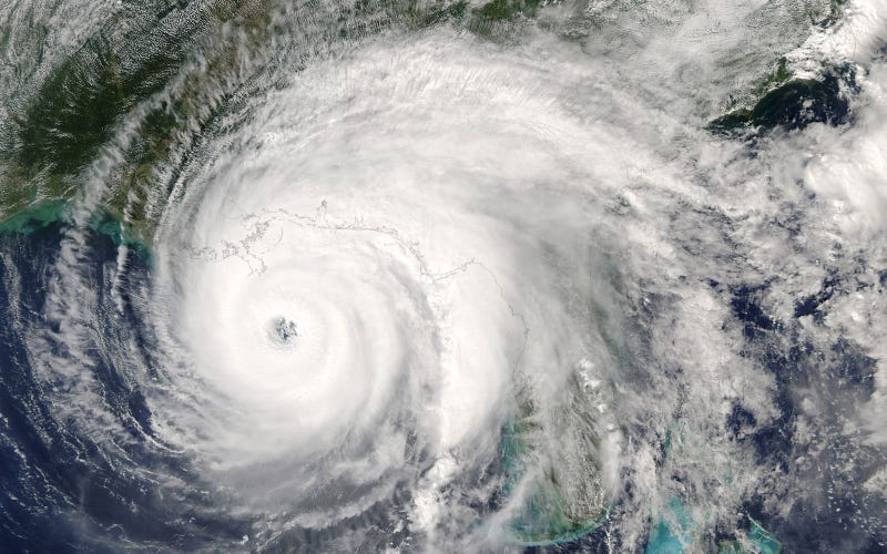
"The easiest example to push to is 1992, Hurricane Andrew, 'A' storm, it wasn't until late August," that it devastated south Florida before moving on to make landfall along Louisiana's central coast.
Bannan says we've been lucky so far. Dry air and wind shear has hampered development this season, but that dry air could be moving off to the east, making the tropical Atlantic more favorable. And the peak of the season, Brannan points out, is still three weeks away.
"We're still ramping up to the peak and that peak is still not until September 14th - 15th," said Brannan. "You still have another week of August and then we still have the first few weeks of September before we start seeing our climatological peak start to go down."