
Enjoy the warmth on Saturday because it will be the last time you'll see temperatures above 50° for quite some time.
Saturday's high temperature will hover around 70° before a cold front ushered in by early rain and storms sends temperatures plummeting. High temperatures on Sunday will top out near 47° with overnight lows near 40°.
Monday is when we'll see the freeze arrive. Overnight lows will be in the 20s across southeast Louisiana, with the Northshore seeing low temperatures around 22°. The hard freeze continues Tuesday and Wednesday. Although daytime highs will get above the freezing point, Overnight lows will dip below 20° north of the lake and into the mid-20s south of the lake. The Northshore will experience hard freeze conditions again early Thursday morning, but the big chill finally eases as we head into next weekend with milder temperatures returning.
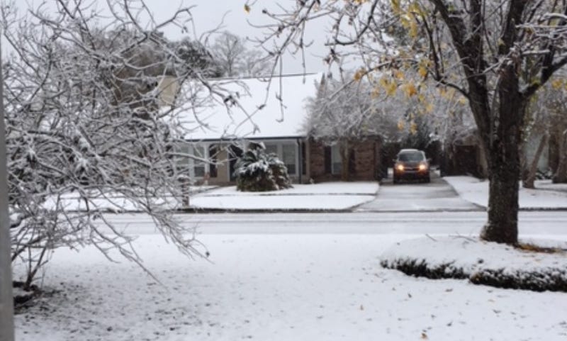
The million dollar question remains: how much snow will we see? The two major models differ on who will see snow accumulation over the next few days. The Euro Model shows snow accumulation in most of the state except for the northwestern portion above Natchitoches, with the heaviest snow falling in southeastern Louisiana. However, the GFS Model shows areas west and north of the Interstate 10 and Interstate 12 corridors getting show, with points south of I-10, including New Orleans, getting a mix of rain, sleet, and snow.
Residents on both sides of Lake Pontchartrain are reminded to protect their pipes, pets, and outdoor plants ahead of the freeze. In addition, check on elderly relatives and others who may need assistance ahead of the Arctic blast to make sure that they are safe.
SATURDAY:
Mostly cloudy, 40-50% scattered showers early. Warm morning, afternoon, then falling temps late. Breezy. High: 71. Winds: SW/W 8-15.
SUNDAY:
Mostly sunny. Cold and windy. Lows: S 42, N 38. Colder before midnight. High: 47.
MONDAY:
Hard freeze north, south. Bitter cold. Increasing clouds. Windy! Low: S 28, N 22. High: 38.
TUESDAY:
Hard freeze north, freeze south. Wintry weather likely. Breezy, bitter cold. Some areas remain below freezing. Low: S 30, N 25. High: 36.
WEDNESDAY:
Hard freeze north, south. Early clouds, then sun. Bitter cold. Low: S 27, N 19. High: 39.
THURSDAY:
Hard freeze north. Increasing clouds. Chilly. Low: S 33, N 25. High: 49.
FRIDAY:
Light freeze north. Mostly cloudy. 30% showers. Low: S 38, N 31. High: 49.