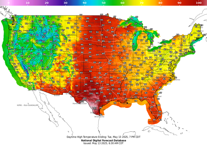

Hope you enjoyed the 50s and 60s we saw to start today, because we probably won't feel air this cool again for some time.
"This is probably our last cool and comfy morning for a while," WWL TV Meteorologist Payton Malone forecasts. "Sunshine and dry air will help us warm up quickly today, with highs in the mid 80s."
He says a big warm up is on the way the rest of the week.
"A strong upper ridge builds over the Gulf. That means highs near 90 by Wednesday and the humidity makes a comeback too, so it’ll start feeling more like summer."
Malone forecasts hitting the 90° reading of the year on Thursday.
"And once we do, we’ll likely stay there. Expect highs in the low 90s through the weekend, and with all the humidity, it’ll feel more like the upper 90s in the afternoons."
He has no rain in the seven day forecast.
TODAY:
Mostly sunny. Warmer temps. Becoming breezy. High: 86. Winds: W/SW 6-12+.
WEDNESDAY:
Mostly sunny. Almost hot! Breezy. More humid. Low: S 67, N 65. High: 88.
THURSDAY:
Mostly sunny to partly cloudy. Hot and breezy. Humid. Low: S 71, N 68. High: 91.
FRIDAY:
Partly cloudy. Hot and breezy. Humid. Low: S 72, N 70. High: 91.
SATURDAY:
Partly cloudy. Hot and humid. Low: S 73, N 70. High: 91.
SUNDAY:
Partly cloudy. Hot and humid. Low: S 73, N 70. High: 90.
MONDAY:
Mostly sunny. Hot, humid. Breezy. Low: S 74, N 70. High: 90.