


Note: this article is no longer being updated. Click here for the latest information.
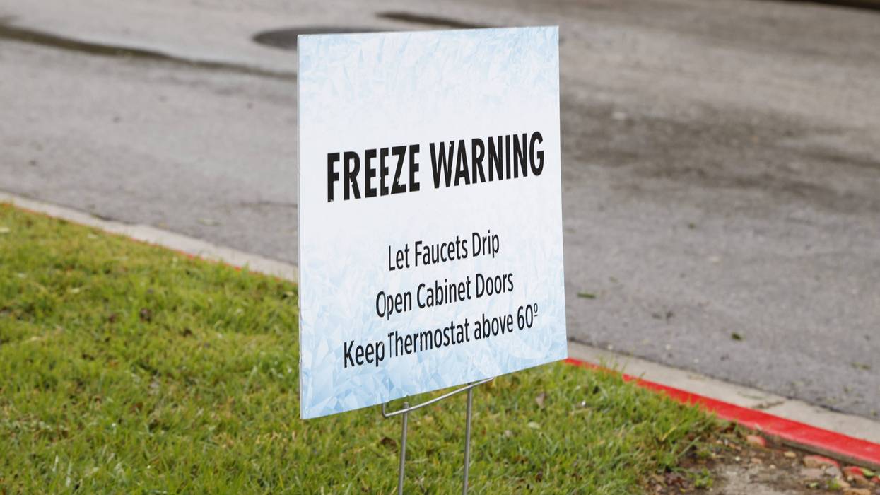
Freezing temperatures are pushing into the Austin metro as an Arctic blast takes grip of a wide swath of the country this weekend, prompting increasing concern locally about freezing precipitation, ice accumulation, and bitter cold temperatures.
...An Ice Storm WARNING continues for Travis, Williamson, and Hays Counties until Noon Sunday...
...A Winter Storm WARNING continues for Caldwell and Bastrop Counties until Noon Sunday...
...An Extreme Cold WARNING begins at 6PM Saturday through Noon on Monday...
Temperatures at Camp Mabry fell to 31 degrees just after 11 a.m. Saturday morning, slightly earlier than forecast models had predicted. A majority of the reporting sites across the Austin metro were below freezing as of the 1 p.m. hour.
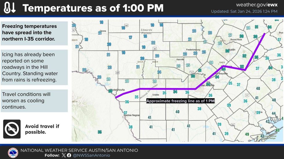 NOAA/National Weather Service
Additional waves of freezing rain and sleet are expected to push through the area later this afternoon and evening, prompting concerns over potential ice accumulation. According to the National Weather Service, widespread accumulations of a quarter of an inch are expected, with higher isolated totals of half an inch or more. Higher accumulations could contribute to downed tree limbs and power lines, creating isolated power ouatges.
Moisture is still largely expected to come to an end by mid-morning Sunday, with many areas drying out by sunrise, but bitter cold will keep temperatures from rising above the freezing mark. Overnight lows are expected to fall into the lower 20s and teens Saturday night, with Sunday's high barely reaching 30 degrees. Additional hard freezes are expected Sunday and Monday night.
Stay tuned for regular forecast updates and other important information, on-air and online, throughout the weekend.