


NOTE: This article is no longer being updated. Click here for the latest coverage.
AUSTIN (Talk1370.com) -- After a mostly dry and mild winter so far, much of Central Texas is set to get a winter blast this weekend featuring freezing precipitation and extremely cold temperatures.
...A Winter Storm WARNING is in effect from Saturday morning through Sunday AM...
...An Extreme Cold WARNING begins at 6PM Saturday through Monday AM...
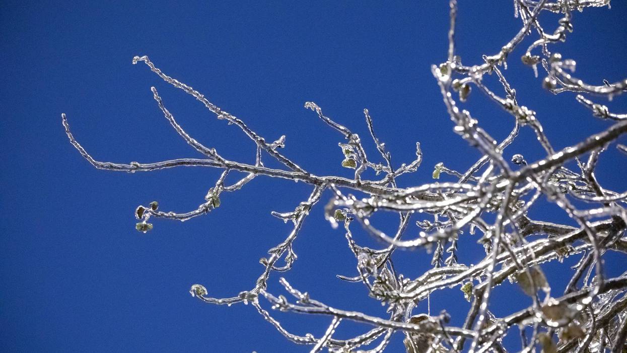
An Arctic cold front will push through the area late on Friday, ushering in bitterly cold air for the weekend - along with the potential for precipitation that will likely come in the form of freezing rain or sleet. Once temperatures fall below freezing on Saturday, they likely will not rise above the freezing mark until Monday morning.
Some travel impacts are expected, especially Saturday night into Sunday morning along the I-35 corridor in the Austin metro counties. Elevated surfaces, such as bridges and highway overpasses, will be among the first to potentially become dangerous to traverse. If significant ice accumulation develops, it could also lead to localized power outages.
Bitterly cold low temperatures are forecast for Sunday, Monday, and Tuesday morning, with air temperatures in the upper teens to near 20, and wind chill values falling into the single digits to near zero.
Stay tuned for regular forecast updates and other important information, on-air and online, throughout the weekend.