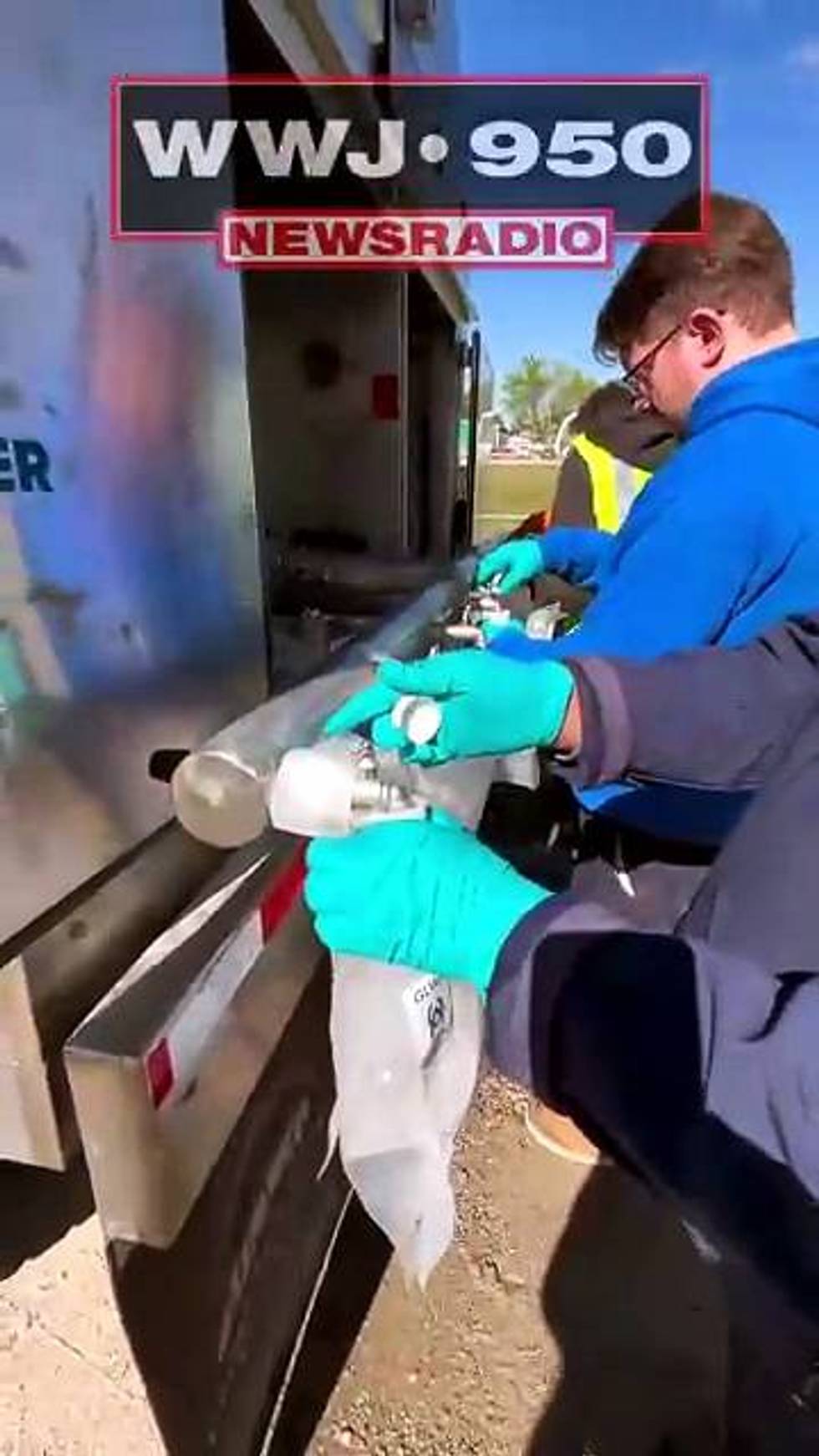
DETROIT (WWJ) -- Drive carefully and watch for ice, forecasters warn, with slick and hazardous conditions expected Monday evening into Tuesdays in Metro Detroit.
Metro Detroit is under a Winter Weather Advisory from now until 4 p.m. Tuesday, including Lenawee, Livingston, Oakland, Macomb, Monroe, Washtenaw and Wayne counties. Forecasters originally had the advisory going into effect at 7 p.m. Monday, but moved up the time due to light freezing rain and drizzle that arrived Monday afternoon.
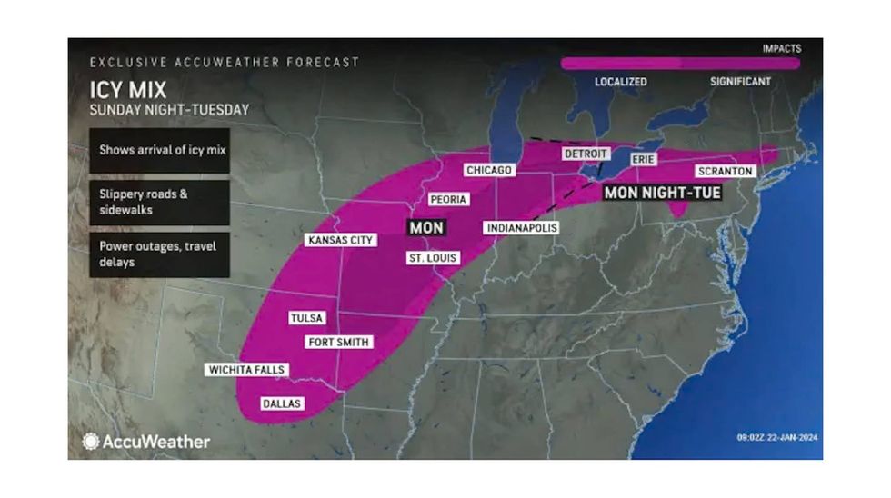
A mix of precipitation is expected, according to the National Weather Service, with snow accumulations up to two inches and ice accumulations of one tenth to two tenths of an inch.
 Accuweather
Forecasters expect hazardous conditions for drivers Monday night, and for the morning commute on Tuesday.
Drivers throughout Metro Detroit should anticipate longer travel times.
"If any rain is falling you really have to be careful," said AccuWeather Meteorologist Brian Thompson, speaking live on WWJ. "Because even if temperatures are close to the freezing mark — sometimes that can help us out in these situations — but keep in mind we have not been above freezing in over a week now. Much of the time it's been well below freezing, so much of the ground in frozen."
"It's gonna take awhile for that to thaw out," he said. "So, even if air temperatures are above freezing...you still want to be very careful. The surface can still be slippery because the ground is very likely still colder.
Forecasters say the intensity of the freezing rain is expected to increase as the night goes on, coming down harder around midnight. While a mix of snow and sleet is possible, the most snow is expected along and north of the M-59 corridor.
Freezing rain will continue until temperatures rise above freezing Tuesday afternoon, NWS said, noting that the type of precipitation will be determined by temperatures that will continue to hover around freezing.
The rain is expected to move from the south to the north, with precipitation ending after 5 p.m. on Tuesday.
While temperatures will rise into the mid-30s to around 40 as we get further into the week, AccuWeather forecasters warn that untreated surfaces, especially the secondary or neighborhood roads and sidewalks ,will still likely have hints of ice going forward as the off and on rain continues.
Stay current on the latest weather updates on WWJ with Traffic and Weather Together on the :08s. Tell Alexa, "Play WWJ nine-fifty" or listen anywhere on the free Audacy app.