LOS ANGELES (CNS) - Temperatures are expected to rise significantly across the Southland over the next several days, with the National Weather Service dubbing it a "significant heat event" that will bring hot weather and an elevated risk of wildfires.
"An upper level ridge of high pressure will begin to build over the region, bringing a warming and drying trend away from the coast," according to the NWS. "A significant heat event with elevated fire weather conditions is forecast for areas away from the coast from mid week into next weekend."
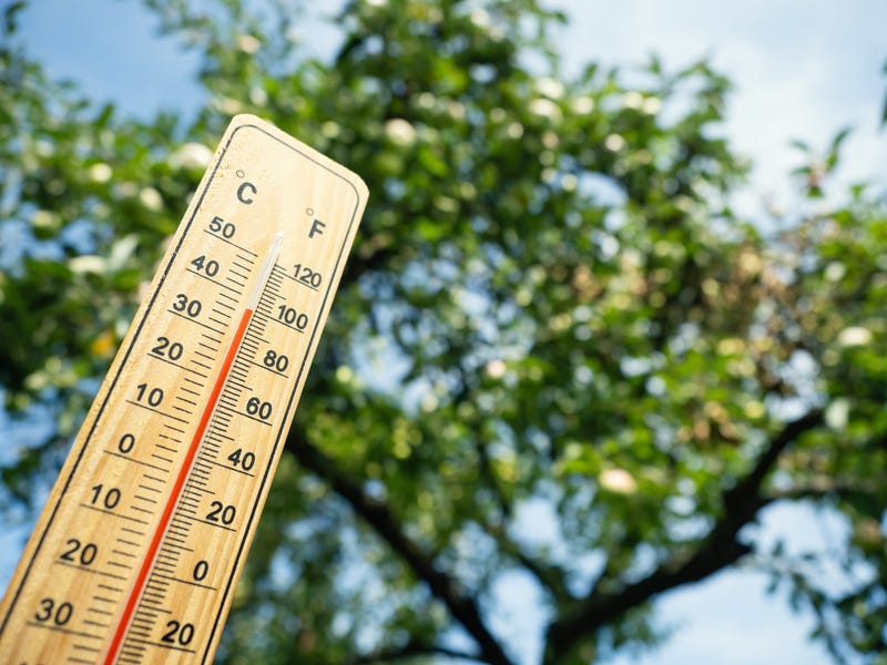
Temperatures on Monday were expected to be in the 80s and 90s in valley areas, but those temperatures will begin rising Tuesday as the high pressure builds and the marine layer diminishes. While Tuesday will be noticeably warmer, the real heat will arrive by Wednesday.
An excessive heat watch will take effect Wednesday morning and remain in place through Saturday evening in the Antelope Valley, Antelope Valley foothills, the western San Gabriel Mountains and Antelope Valley (14) Freeway corridor and the Santa Clarita Valley.
According to the NWS, the Antelope Valley could see temperatures reaching 110 degrees, while other areas could also be in the low-100s, increasing the risk of heat-related illnesses. Forecasters urged people to take precautions, such as drinking plenty of fluids, limiting outdoor activity and ensuring children and pets are not left unattended in vehicles.
"In addition to the hot daytime temps, many valley and foothill areas as well as the Antelope Valley will see much above normal overnight lows, and this will really ratchet up the heat risk as people without air conditioning will not have (a) cooling period," forecasters said.
The high heat is expected to contribute to "elevated to brief critical fire conditions" in desert, mountain and interior valley areas. Those areas will see humidity levels in the 5% to 15%. Winds are expected to be relatively light, but some higher gusts are possible in traditionally wind- prone areas.
Elevated temperatures are likely to continue into next week, although more onshore flow is expected, helping to cool things off in the valleys. But mountains and interior areas "will likely continue to sizzle," forecasters said.
Follow KNX News 97.1 FM
Twitter | Facebook | Instagram | TikTok
Related

Related