


PHILADELPHIA (KYW Newsradio) — "It was a day for the record books," said NBC10 meteorologist Steve Sosna on KYW Newsradio about the incredible amount of warnings and emergencies that were issued during Wednesday's storm caused by the remnants of Tropical Depression Ida.
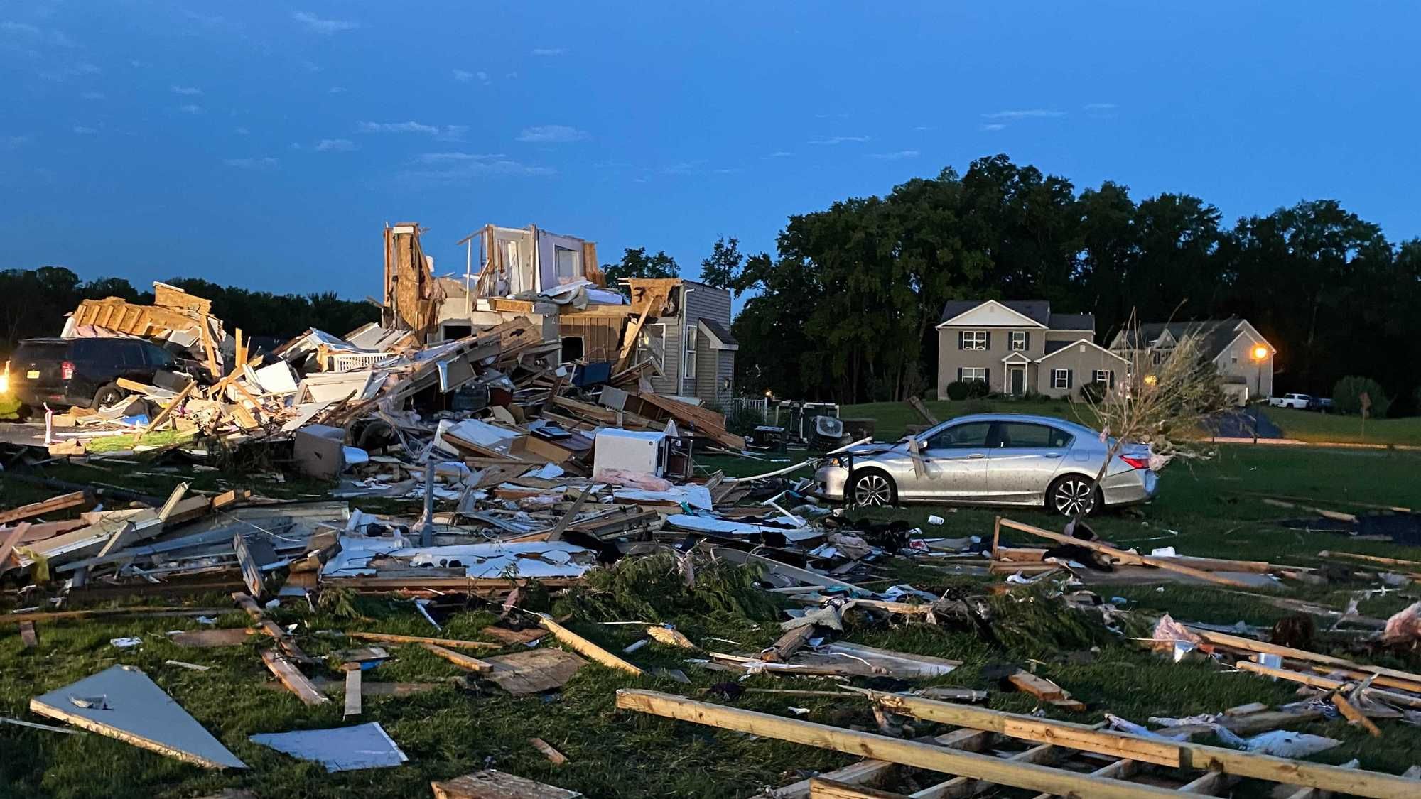
"Sixteen tornado warnings. We don't think there were 16 tornadoes, but there were at least several suspected tornadoes," Sosna said.
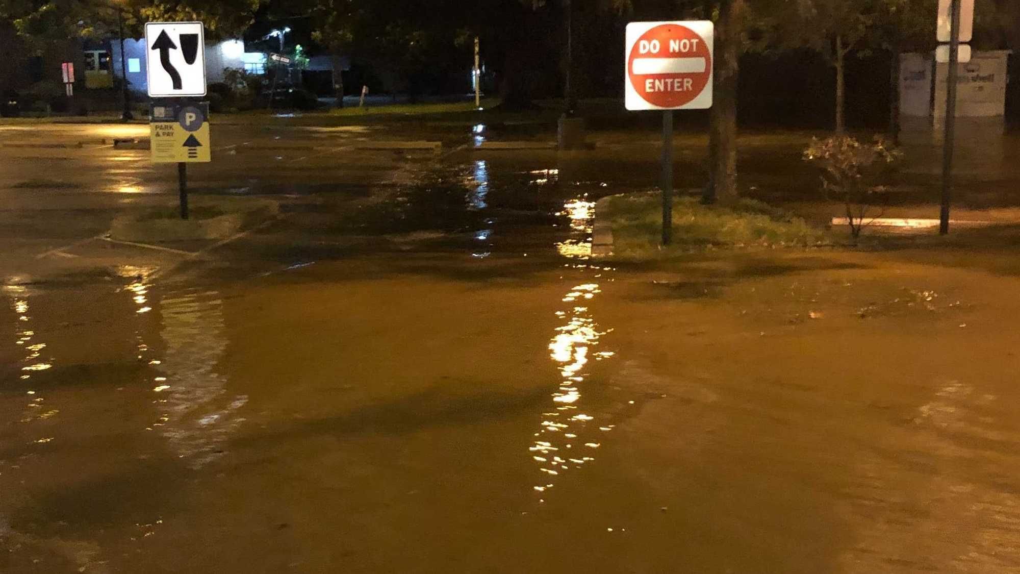
"We had four flash flood emergencies. Just to have one of those in one day would be epic for a summer, but we had four or five flash flood emergencies, meaning catastrophic flooding."
That flooding is expected to push rivers into major flood stages, including the Schuylkill River, which is expected to reach 6 feet above the major flood stage when cresting at 30th Street Station.
"We will see some major river flooding headed into the day," said Sosna.
"So if people are thinking about going out, I would hold off till [Thursday] in the daylight and be prepared for a lot of local road closures."
In Sosna's view, the "monumental" storm earlier this summer that led to at least seven tornadoes pales in comparison to the system that brought these latest storms.
"It's almost unreal, to have what we had happen, where you had multiple tornado warnings moving through metropolitan areas like Trenton and Philadelphia and Cherry Hill, and at the same time have your highest grade of warning where the weather service is calling this a life-or-death situation in the suburbs," he said.
"We had, at one point, so many warnings, we couldn't even determine which warning it was. We were having to separate the colors out because they were all overlaid on top of each other."
Sosna warns that climate change is somewhat playing a role in the escalating number of storm-filled summers.
"This is the most tornado warnings that the National Weather Service in Mount Holly, New Jersey, in the existence of their office has ever issued in a year, up to 51," Sosna said.


