
Buffalo, N.Y. (WBEN) - The immediate Buffalo Southtowns are getting a break from the drumbeat of lake effect snow that has pummeled portions of the region South of metro Buffalo through the holiday weekend.
Moderate to locally heavy lake effect snow will continue through Tuesday across the Western Southern Tier, Southeast of Lake Erie with significant additional accumulations.
CHECK: WBEN Closings
"The good news for the Buffalo metro area, including all the Southtowns, this event is over," National Weather Service meteorologist John Hitchcock tells WBEN. "We're going to have mainly dry conditions today, tonight and tomorrow, so we're in good shape up here in Buffalo."
A Lake Effect Snow Warning remains posted for Chautauqua and Cattaraugus counties through Tuesday where the lake effect snow machine will remain in the 'on' mode.
"That area may see another 10 to 20 inches when all is said and done between today, tonight and tomorrow."
IMPRESSIVE SNOW TOTALS
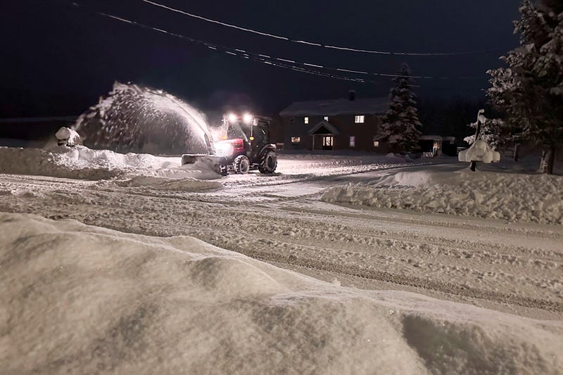
The "snow globe" we all saw during the big Bills' "Sunday Night Football" game drew national attention to the lake effect snow system that pummeled portions of the region through the long holiday weekend. Portions of the immediate Buffalo Southtowns saw in excess of a foot of snow through Sunday.
But the snow totals deep into the Southern Tier were even more impressive.
"So far the grand winner was Cassadaga in Chautauqua County," Hitchcock tells us. "They had 47.6 inches as of last evening, so they will add to that today and tomorrow, so they'll probably eclipse the 50 inch mark."
Closer to the metro Buffalo area in Erie County, Angola registered 32 inches and they have had additional snow accumulation since that report, Hitchcock tells us.
WHAT TO EXPECT THIS WEEK
It's not over yet, Hitchcock tells WBEN.
"There are several more snow chances, and that would include the Northtowns," he says. "It will lift quickly tomorrow night (Tuesday) across the Buffalo area and wind up North of Buffalo late Tuesday night." A few inches of accumulation from that pass are expected.
Some generalized snow is forecast for the region Wednesday and Thursday as well with minor accumulations.
Some additional lake effect will also ramp up Thursday across the metro Buffalo area and will end up well South. Snow totals are not expected to be impressive, but could impact travel, Hitchcock warns. It will be very windy Thursday and Thursday night with some blowing and drifting snow.
WINTER TAKES HOLD
Considering Buffalo saw its first flakes of winter a mere few days ago, winter has taken hold with a vengeance, Hitchcock notes. "Quite the way to kickoff winter."
The next 5 or six days continue to be wintry, but then, perhaps, some hope for moderation.
"There are some early signs that we begin to warm up by early next week, about a week from now."

LAKE EFFECT SNOW WARNING REMAINS IN EFFECT UNTIL 7 PM EST TUESDAY
* WHAT...Heavy lake effect snow. Additional snow accumulations 12 to 20 inches in the most persistent lake snows.
* WHERE...Chautauqua and Cattaraugus Counties. Greatest additional accumulations will be across the higher terrain of the Chautauqua Ridge and western Cattaraugus County.
* WHEN...Until 7 PM EST Tuesday.
* IMPACTS...Visibilities will occasionally drop below 1/4 mile due to falling and blowing snow. Travel will be very difficult with deep snow cover on roads and very poor visibility.
PRECAUTIONARY/PREPAREDNESS ACTIONS...
Heavy snow will fall in relatively narrow bands. If traveling, be prepared for rapidly changing road conditions and visibilities.
Submit snow reports through our website or social media.
Consider delaying travel. If you must travel, drive with extreme caution. Leave plenty of room between you and the motorist ahead of you, and allow extra time to reach your destination. Avoid sudden braking or acceleration, and be especially cautious on hills or when making turns.
Related
