
Buffalo, N.Y. (WBEN) - The punishing lake effect snow that crippled many of the southtowns Thursday, has finally weakened and moved deep into the southern tier where it will remain and dissipate Friday.
"Overnight, the band has weakened considerably," National Weather Service meteorologist Liz Jurkowski tells WBEN.
A weakening single band of lake snow early Friday draped from near Ripley and into northwest Cattaraugus, far southern Erie, and southwest Wyoming counties. Snowfall rates of 2-3 inches an hour still look to be occurring closer to the lake shore of Chautauqua County. Further inland, where the lake band is weaker, rates are closer to 1" per hour.
Snowfall rates are expected to fall to less than 1" per hour by around daybreak over Chautauqua County. Some light snow may linger across Chautauqua County and far western Cattaraugus and far southwest Erie counties today, but this will be light, and should end completely later in the day.
"This band will diminish further throughout the rest of the day and will probably be gone by tonight," Jurkowski says.
As the snow band lifted into South Buffalo late Thursday, a State of Emergency was declared in Buffalo.
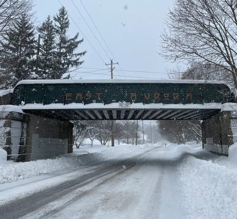
Routes 219 remains closed from the NYS Thruway to Peters Road and Route 400 is closed from the thruway to Route 16 in Aurora.
Buffalo Schools and a number of other districts made the decision to close again Friday.
CHECK: WBEN Closings
Related

A Lake Effect Snow Warning remains only for southern Erie, Wyoming, Chautauqua and Cattaraugus counties through 1 p.m. Friday.
Impressive Snow Totals
The snow was punishing in targeted locations Thursday, piling up by the foot in spots across many of the southtowns, before drifting northward and leaving several inches across parts of South Buffalo.
"Toward Eden there was 42 inches of snow," Jurkowski tells WBEN. "Hamburg, we had 33 inches of snow," she says, and some additional snow fell since that report. Orchard Park had a measurement of 30 inches.
COLD, but then?
Temperatures will be cold across the region, with highs in the low to mid 20's for lower elevations and around 20 across the higher terrain Friday. High pressure builds overhead tonight, which will likely allow low temperatures to drop into the single digits
After a cold start Saturday morning, highs Saturday will modulate into the upper 20's across the higher terrain to the lower 30's elsewhere.
Temperatures will be cold, with highs in the low to mid 20s for lower elevations and around 20 higher terrain Friday. Lows overnight into Friday will be in the teens.
Temperatures will continue to modulate Sunday with highs ranging in the low to mid 30's across eastern Lake Ontario and mid 30's to low 40's elsewhere. After an early start of snow Sunday, precipitation should change over to all rain during the day Sunday.

LAKE EFFECT SNOW WARNING REMAINS IN EFFECT UNTIL 1 PM EST THIS AFTERNOON
* WHAT...Lake effect snow. Additional snow accumulations 1 to 3 inches in the most persistent lake snows.
* WHERE...Wyoming, Chautauqua, Cattaraugus, and Southern Erie Counties.
* WHEN...Until 1 PM EST this afternoon.
* IMPACTS...Travel will be difficult in some areas with deep snow cover on roads.
PRECAUTIONARY/PREPAREDNESS ACTIONS...
If traveling, be prepared for changing road conditions.