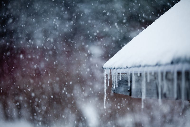

Whoever asked Santa for a white Christmas should be pelted with snowballs, as a holiday blizzard has hit the Twin Cities and greater Minnesota, leaving cold temperatures and snow in its path.
National Weather Service Meteorologist Bill Borgoff says we'll see snow today and again on Wednesday, with bitter cold temperatures and high winds making it even colder.

“Wednesday, we’re going to get a round of snow that will last into early Thursday, and we could have several inches of accumulation with that, maybe as much as 4 to 8 [inches] during that period,” Borgoff said.
Borgoff said the several inches of snow could be dangerous as it “could blow around and produce considerable drifting.”
As of Monday afternoon, predictions say winds could gust as high as 45 to 50 miles per hour, creating blizzard conditions that will last through Friday, particularly in western and southern Minnesota.
The high winds will reduce visibility even in the metro area and create dangerous wind-chill values as low as -45 degrees. That combination could make driving impossible and life threatening for motorists who get stranded.
Borgoff says it might be a good idea to adjust any travel plans, adding that if you don't have to drive on Thursday or Friday, don't.
For those who still plan on driving, Borgoff says to pack an emergency kit with snacks, a working flashlight, and other items to keep you warm if you're stuck in the car for long periods of time.
“This is going to be very dangerous,” Borgoff said.
Related

Related
