


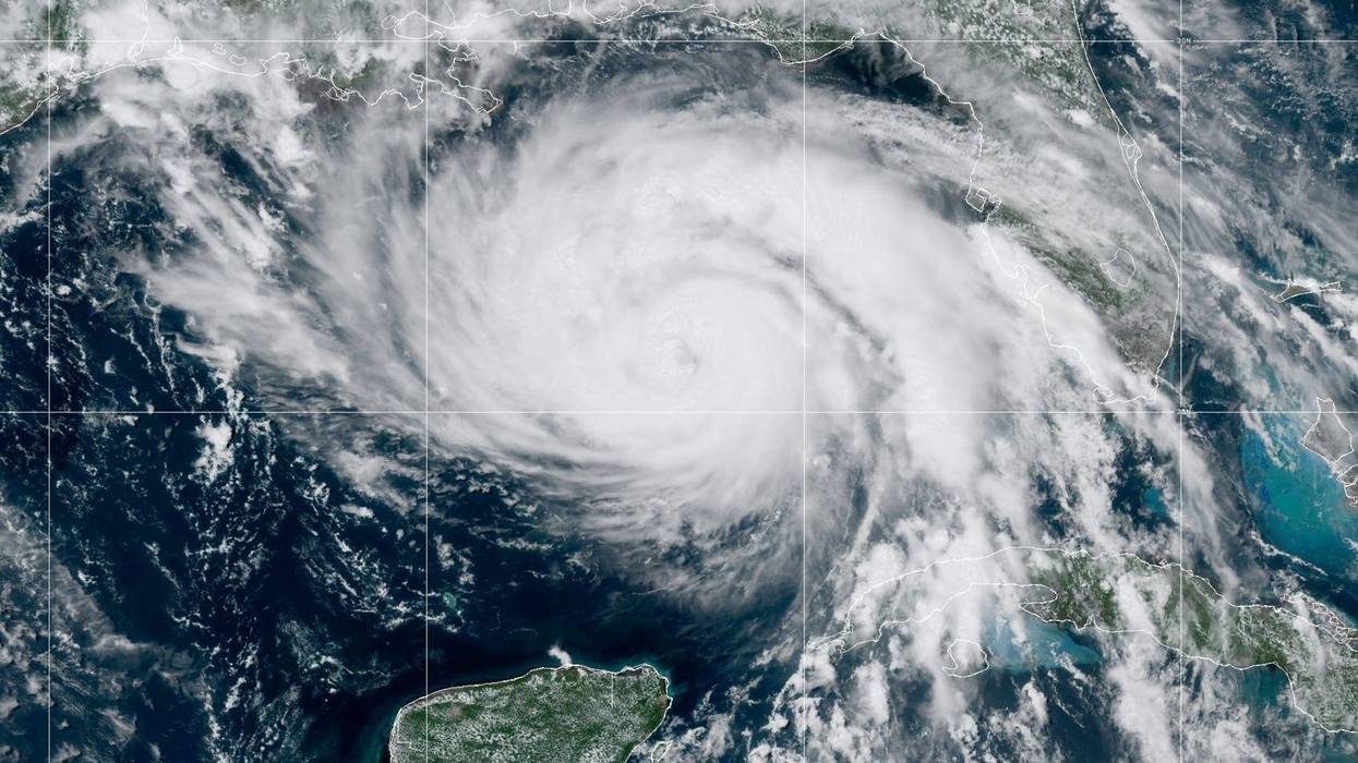
What can you expect as Hurricane Ida approaches your parish?
Meteorologists from WWL-TV have projections for what the storm could mean for the New Orleans metro area and other nearby parishes.
In Orleans, Upper Jefferson, Upper St. Bernard and Upper Plaquemines, people can expect the following:
· Wind: 70-80 mph, gusts to 105 mph
· Storm surge: 5-8 feet for Lake Pontchartrain
· Storm Surge: 7-11 feet outside hurricane protection levee in Orleans
· Rainfall: Around 8-12"
· Few tornadoes possible
In St. Tammany:
· Wind: 50-60 mph, gusts to 80 mph
· Storm surge: 6-8 feet for Lake Pontchartrain
· Rainfall: Around 8-12"
· Few tornadoes possible
In the Lower Plaquemines & East St. Bernard
· Wind: 60-70 mph, gusts to 90 mph
· Storm surge: 7-11 feet east bank & 10-15 feet west bank
· Rainfall: Around 6-10"
· Few tornadoes possible
In Lower Jefferson:
· Wind: 85-95 mph, gusts to 105+ mph
· Storm surge: 10-15 feet
· Rainfall: Around 6-10"
· Few tornadoes possible
In Terrebonne and Lafourche:
· Wind: 90-110 gust to 120+ mph
· Storm surge: 10-15 feet
· Rainfall: Around 6-10"
· Few tornadoes possible
In St. Charles, St. James, St. John and Assumption:
· Wind: 90-110 gust to 120+ mph
· Storm surge: 5-8 feet for Lake Pontchartrain and 4-6 Lake Maurepas
· Rainfall: Around 10-12” few sports around 15 inches
· Few tornadoes possible
In Hancock and Pearl River counties, Miss.:
· Wind: 40-50 mph, gusts to 80 mph
· Storm surge: 7-11 feet
· Rainfall: Around 5-10"
· Few tornadoes possible
In Washington:
· Wind: 40-50 mph, gusts to 75 mph
· Rainfall: 5-8"
· Few tornadoes possible
In Tangipahoa:
· Wind: 60-70, gusts to 90 mph
· Storm surge: 5-8 feet for Lake Pontchartrain and 4-6 Lake Maurepas
· Rainfall: 10-12"
· Few tornadoes possible
Most impacts will start by Sunday and linger into Monday, said WWL-TV. Conditions could change, so check back.


