



NEW YORK (1010 WINS) -- Severe thunderstorms may bring damaging winds, flooding downpours, hail and even an isolated tornado to the New York City area on Tuesday.
The stormy weather will roll through during the afternoon and evening hours before moving out later Tuesday night, according to AccuWeather.
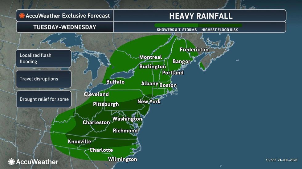
The National Weather Service issued a Tornado Watch for all five boroughs of NYC, as well as all of New Jersey, Nassau County, the Lower Hudson Valley and southwestern Connecticut until 9 p.m. A Flash Flood Warning was also issued for parts of NYC, including Manhattan, Brooklyn, Queens and the Bronx, as well as parts of New Jersey and Long Island, until the 7 p.m. hour. A Flood Watch is in effect for much of the Tri-State until Tuesday night.
 AccuWeatherAccuWeather
Average rainfall totals of 1 and 2 inches are expected, but isolated amounts of 3 to 4 inches are possible, according to NWS. Peak rainfall rates in the strongest storms could be near 2.5 inches per hour.
Wind gusts of up to 60 mph on Tuesday evening may down trees or blow around unsecured objects, officials said. The potential for a tornado is highest in New Jersey.
 AccuWeatherAccuWeather
NYC Emergency Management activated the city’s Flash Flood Emergency Plan to help prepare for the expected flooding and mobilize response teams.
The severe weather is expected to move out around 9 p.m., though another round of rain and storms is in the forecast for Wednesday afternoon.
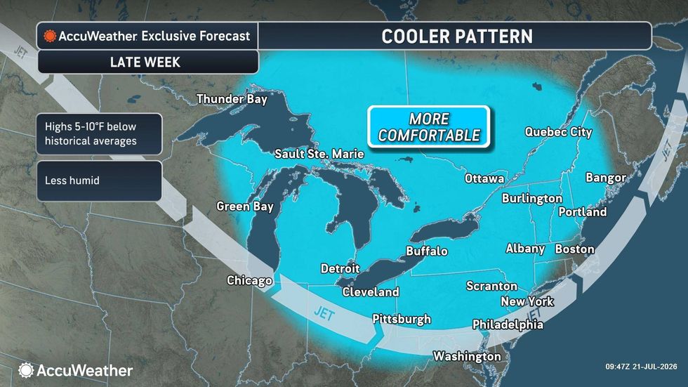
The rest of the week is expected to be pleasant, with sunny skies and highs in the low 80s on tap into the weekend.