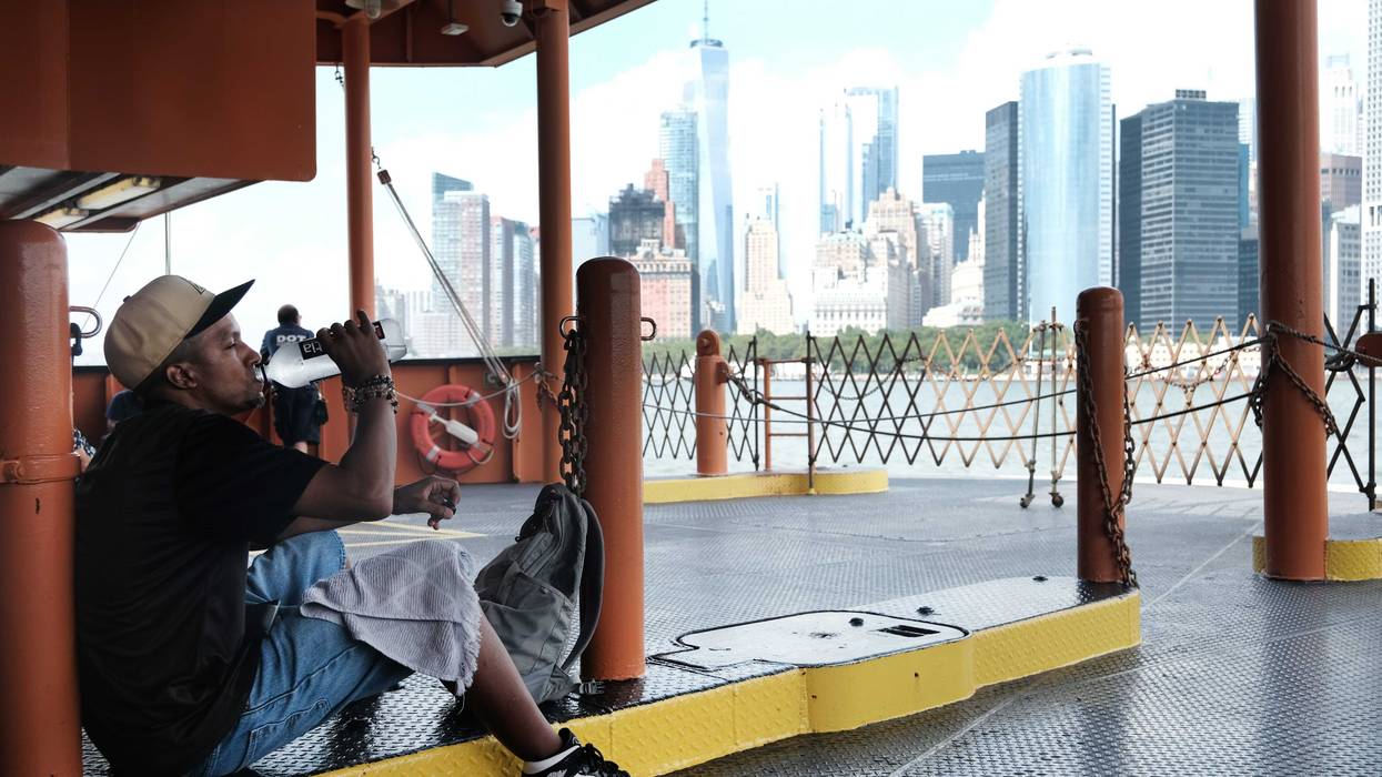
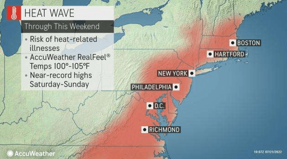
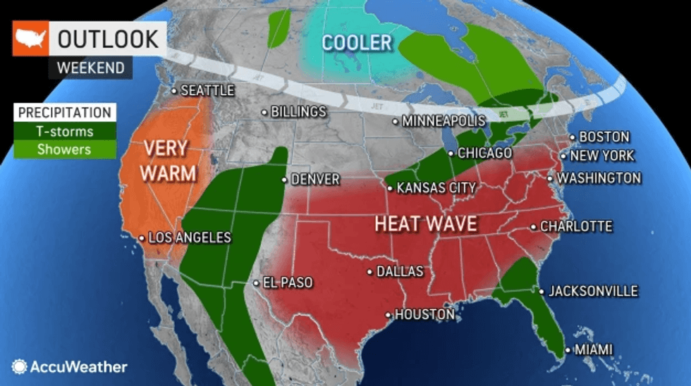
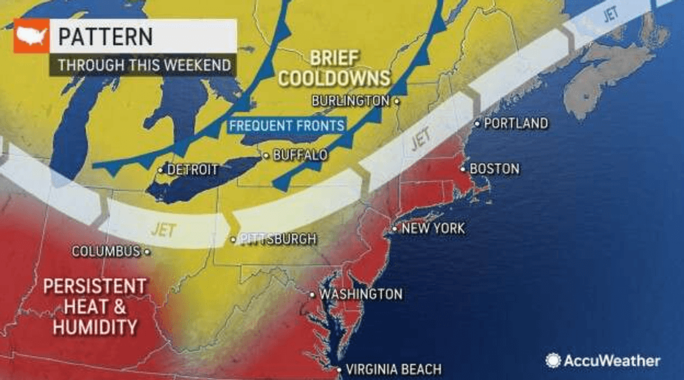
NEW YORK (1010 WINS) -- The New York City area continued to bake as an unrelenting, week-long heat wave stretched into a fourth day Friday—and it will only get hotter and more humid this weekend.
A heat advisory remains in effect for much of the Tri-State until 8 p.m. Sunday. The advisory covers all of New York City, Long Island, the Lower Hudson Valley and Connecticut, and nearly the entire state of New Jersey. New York state officials also issued an air quality health advisory for Long Island and the New York City metro area from 11 a.m. to 11 p.m. Friday.
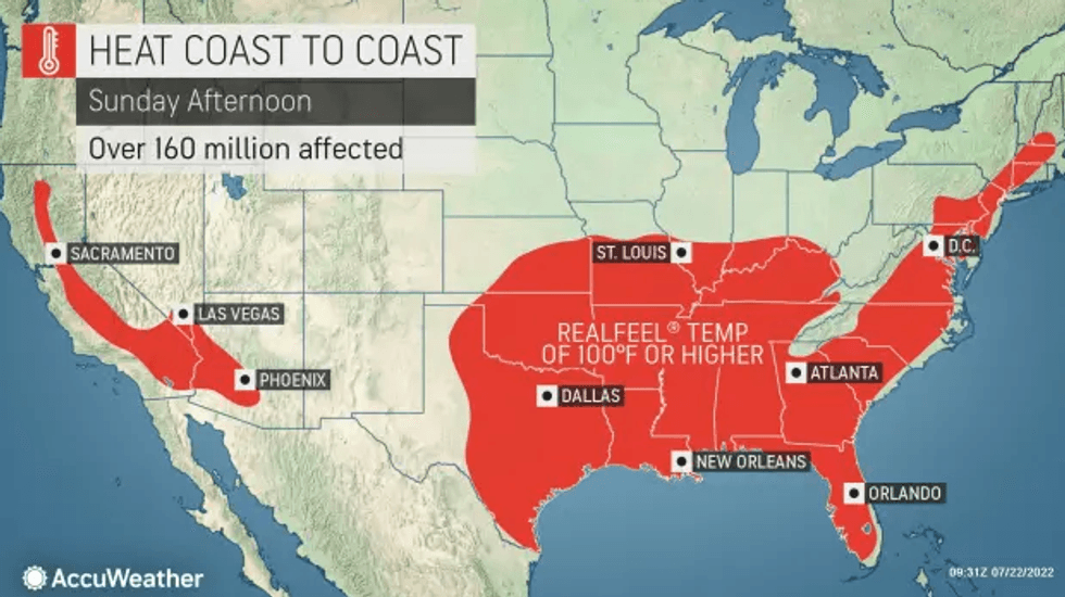
Across the country, some 100 million people have been under heat-related alerts.
The July scorcher officially became a heat wave Thursday, as the area reached three straight days of sweltering, 90-degree heat.
 AccuWeather
 AccuWeather
 National Weather Service
The heat wave has left thousands of customers in the five boroughs without power. And the city has opened some 550 cooling centers to help people beat the heat.
Find cooling centers here and free outdoor pools here. NYC Emergency Management also has a resources page for extreme heat.
Friday's high was 93 degrees, but AccuWeather RealFeel temps topped 100 by afternoon.
 AccuWeather
 AccuWeather
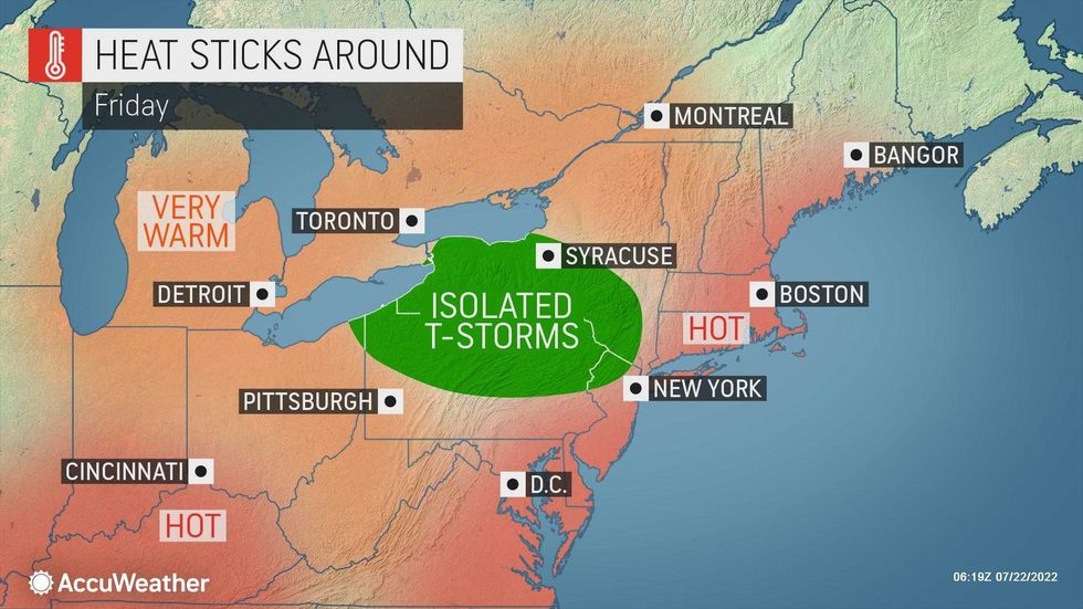
A thunderstorm can't be ruled out Friday evening, especially in the inland suburbs of New Jersey. The storms could bring strong winds and hail.
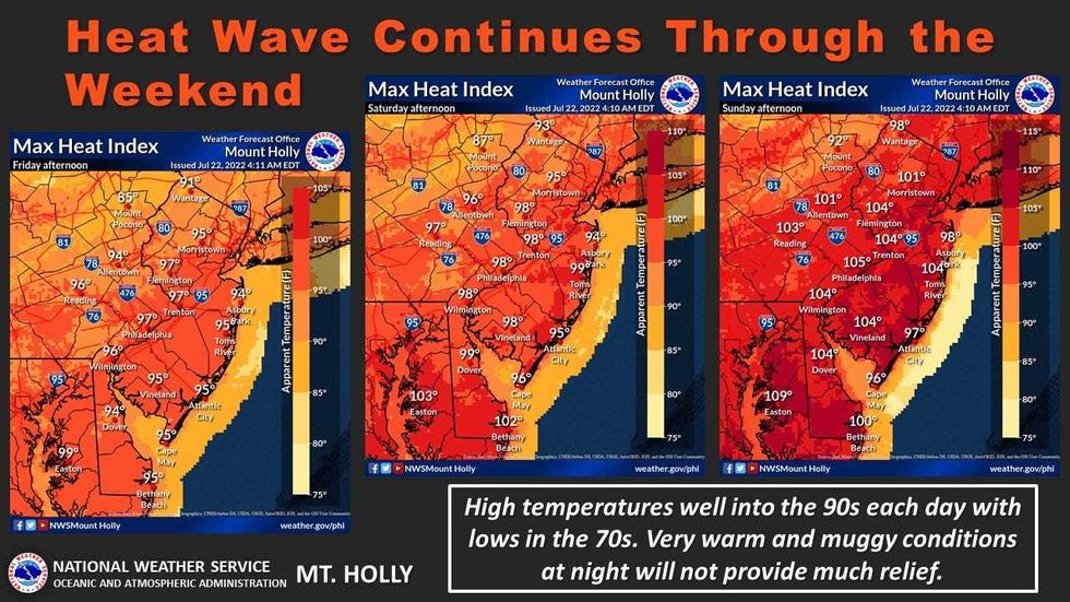
Lows will only drop to about 77 in the city overnight Friday before the humidity and heat ramp up again on Saturday.
The weekend will be brutal with RealFeel temps well over 100 on both Saturday and Sunday.
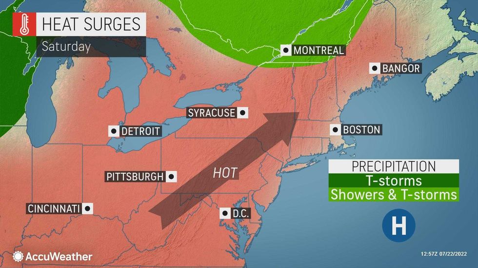
It will be very hot and increasingly humid on Saturday with a high of 96.
 AccuWeather
 AccuWeather
Sunday will be awful as the extreme heat and humidity reach a fever pitch. The high of 98 in Central Park is expected to break a record of 97 set over a decade ago on July 24, 2010.
Other cities in the area are also expected to break records Sunday, including Newark, where a forecasted high of 102 would shatter the previous high of 99 in 2010.
Storms may pop up in the afternoon and evening Sunday, but they'll provide little respite as the heat wave blazes into a sixth day.
 Spencer Platt/Getty Images
Monday is forecast to be the seventh and final day of the heat wave. It won't be quite as hot with a high of 92, but high humidity will again make it feel much warmer. Plan for a couple of showers and a heavy thunderstorm later in the day.
This would be the 22nd time in recorded history that New York City has had a heat wave lasting seven days or longer.
The heat wave should break Tuesday, when the high is expected to hit a still-warm 86.
Temps will fall into the mid-80s by Wednesday, when it will otherwise be dry and sunny.
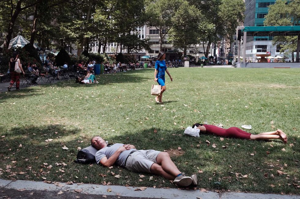 People rest in the shade in Bryant Park in midtown Manhattan as temperatures reach into the 90s on July 21, 2022 in New York City.Spencer Platt/Getty Images
 1010 WINS