

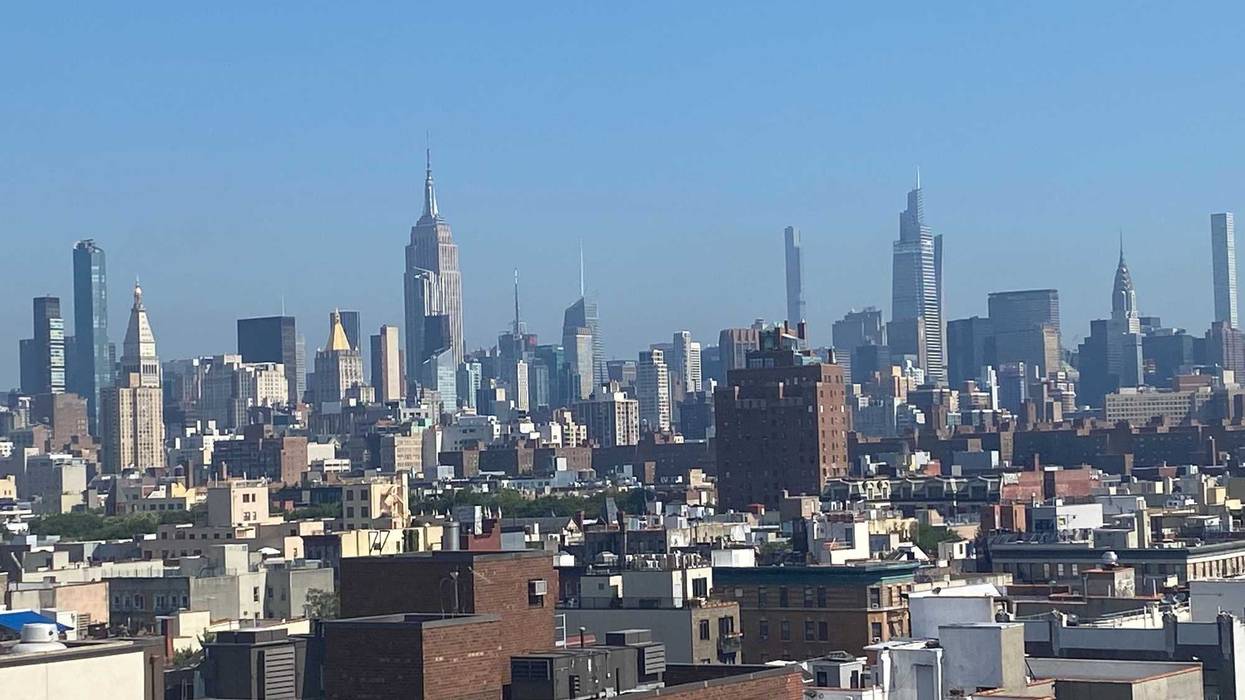

NEW YORK (1010 WINS/WCBS 880) -- Just days after a major heat wave receded, blistering temps are set to bake the New York City area yet again this week as a surge of humid air arrives.
It looks like the city will avoid an official heat wave—three or more days of highs at 90 degrees or above—but it will still be very hot through the workweek as shower and thunderstorm threats pop up through the weekend.
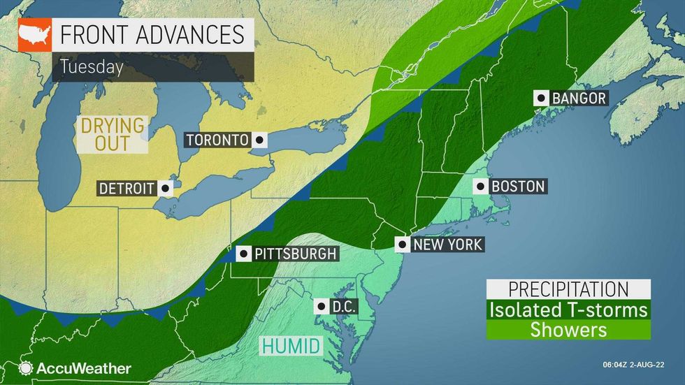
Tuesday's high will hit 90 degrees, but the humidity will push RealFeel temps into the upper 90s by afternoon, according to AccuWeather.
It's otherwise partly sunny Tuesday with a chance of storms in the afternoon and evening.
 AccuWeather
Conditions won't be quite as hot or humid on Wednesday, when the high is forecast to reach 88.
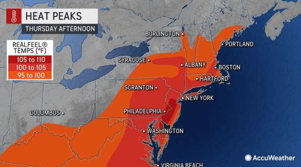
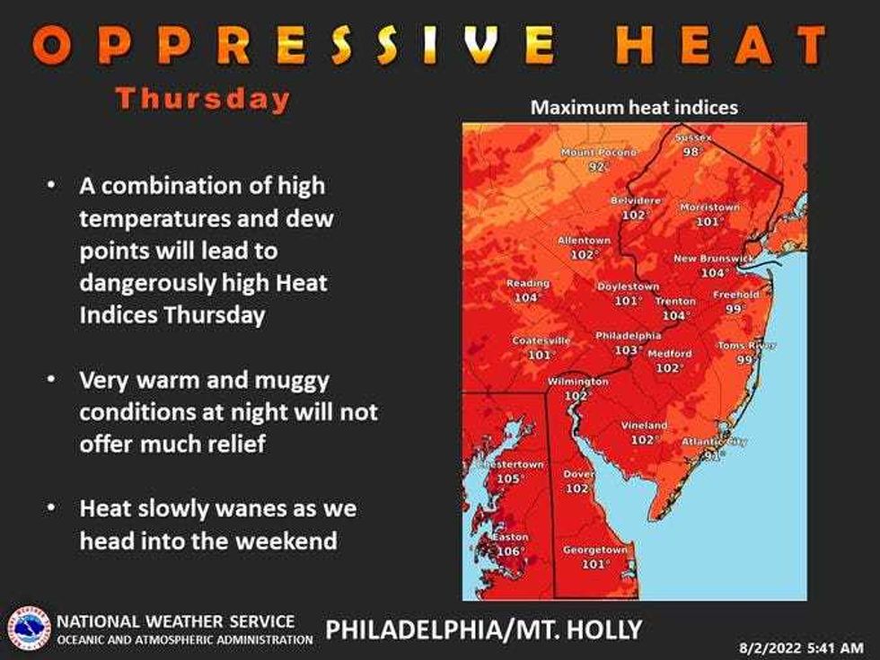
But the heat and humidity return in full on Thursday, which is expected to be the most miserable day of the week.
Thursday's high will be 94, but RealFeels may very well approach 105 by afternoon in some places, especially the inland suburbs.
 AccuWeather
 National Weather Service
Among the cities that may see record-breaking heat Thursday is Hartford, where an expected high of 99 would challenge the daily record high of 96 set in 1944.
Temps cool slightly on Friday, but it will still be very warm and humid with a high of 88. A thunderstorm or two can't be ruled out later in the day.
 AccuWeather
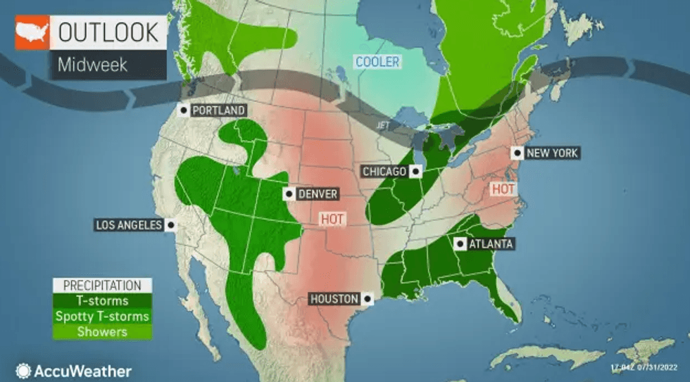
The risk of showers and storms continues into the weekend amid varying degrees of temps.
The high is only forecast to be 83 on Saturday, but temps will surge to 88 Sunday and 87 on Monday. The rest of next week should be mostly pleasant as highs hover in the low 80s.
July's six-day heat wave stretched from July 19 to July 24 and killed at least four people in New York City.