
With a major storm bearing down on Southern California, the city and county of Los Angeles on Monday issued evacuation warnings for residents near multiple recent burn zones due to possible mud and debris flows.
The city of Los Angeles issued warnings that will be in effect from 11 a.m. Tuesday through 11 p.m. Thursday for residents of Pacific Palisades and Mandeville Canyon near the Palisades Fire, and south of Runyon Canyon near the Sunset Fire area.
"The Los Angeles Police Department will go door-to-door to visit each high-risk home with evacuation orders," according to Los Angeles Fire Department spokeswoman Lyndsey Lantz.
Los Angeles County officials, meanwhile, issued evacuation warnings for residents near the Palisades, Eaton, Agua Dulce, Lidia, Franklin, Bridge, Canyon, Owen, Hurst and Kenneth fires. Those warnings will also begin at 11 a.m. Tuesday.
Fire officials advised anyone who needs extra time to evacuate or has livestock to evacuate to a safer area at once.
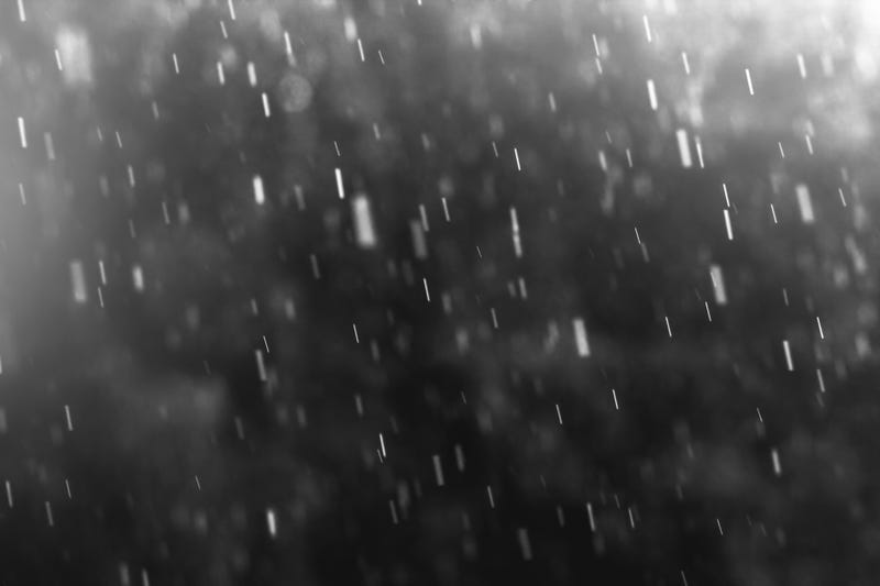
Rain is expected to start falling Tuesday night -- peaking on Wednesday -- and continuing through Christmas Day, and possibly into the weekend.
Want to get caught up on what's happening in SoCal every weekday afternoon? Click to follow The L.A. Local wherever you get podcasts.
"In summary, Tuesday through Saturday looks to be an extended period of significant rainfall," according to the National Weather Service. "By Saturday evening, rainfall totals will range from 4-8 inches across coastal and valley areas to 8-12+ inches across the foothills and mountains. Please take the necessary protective actions as flooding and debris flow will be a major issue this upcoming week."
Rainfall rates of a half-inch per hour are sufficient to start mud flows, according to the NWS
Follow KNX News 97.1 FM
Twitter | Facebook | Instagram | TikTok