SAN FRANCISCO (KCBS RADIO) – The break in the weather is finally offering an opportunity to get to Tahoe for a weekend of favorable ski conditions.
For more, stream KCBS Radio now.
But another round of storms is brewing.
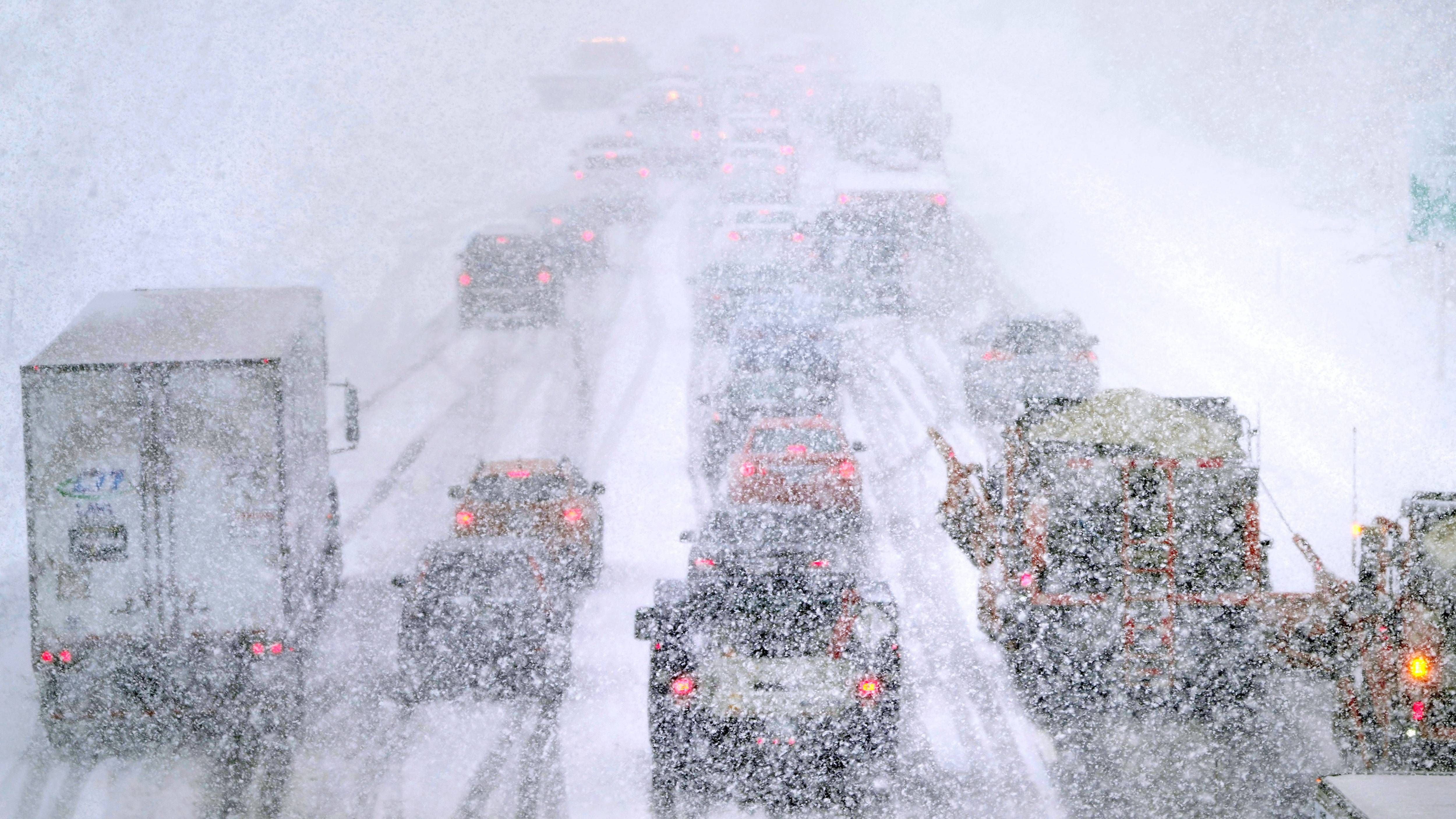
There's been plenty of powder in Tahoe this year, in this past week Palisades Tahoe reported more than 600 inches – more than 50 feet of snow.
It was enough to even bury some chairlifts at the resort.
This weekend there is finally an opening and some good conditions for skiers.
A weaker storm will arrive Saturday night and continue into Sunday, but the biggest impact will be on the roads.
While it’s not a particularly large system, it could still bring extra inches of snow and could lead to slick roadways, particularly in the Sierra passes.
But this break is fleeting. Another atmospheric river is expected to dump even more snow onto the area next week.
The heaviest snowfall is expected on Tuesday, so hopeful skiers would have better luck going out this weekend.
It's not quite a record snowfall for Tahoe yet, but according to UCLA climate scientist Daniel Swain, with a few more big storms, it could get there.
"The snowpack, is, of course, in the southern Sierra is greater than any other year at this point," he said. "In the northern Sierra, it’s not at record levels, although it is still well above average."
The record snow for Tahoe was back in 1952 at around 67 feet.
DOWNLOAD the Audacy App
SIGN UP and follow KCBS Radio
Facebook | Twitter | Instagram