SAN FRANCISCO (KCBS RADIO) – The National Weather Service has issued a high wind advisory for the Bay Area through Monday morning. Overnight wind gusts were recorded upwards of sixty miles per hour in higher elevations.
For more, stream KCBS Radio now.
Mother Nature has also dished up another threat as this week begins – King Tides will be peaking around midday Monday.
Although Monday's winds will have gone down slightly from the night before, they’ll still be quite powerful.
"We could see some wind gusts this afternoon around 20 to 25 miles per hour," said Roger Goss, a meteorologist with the National Weather Service.
"If you're in the foothills you could see maybe around 40 miles per hour," he said. "But again, looks like the strongest of the winds are going to stay pretty much in the higher elevation."
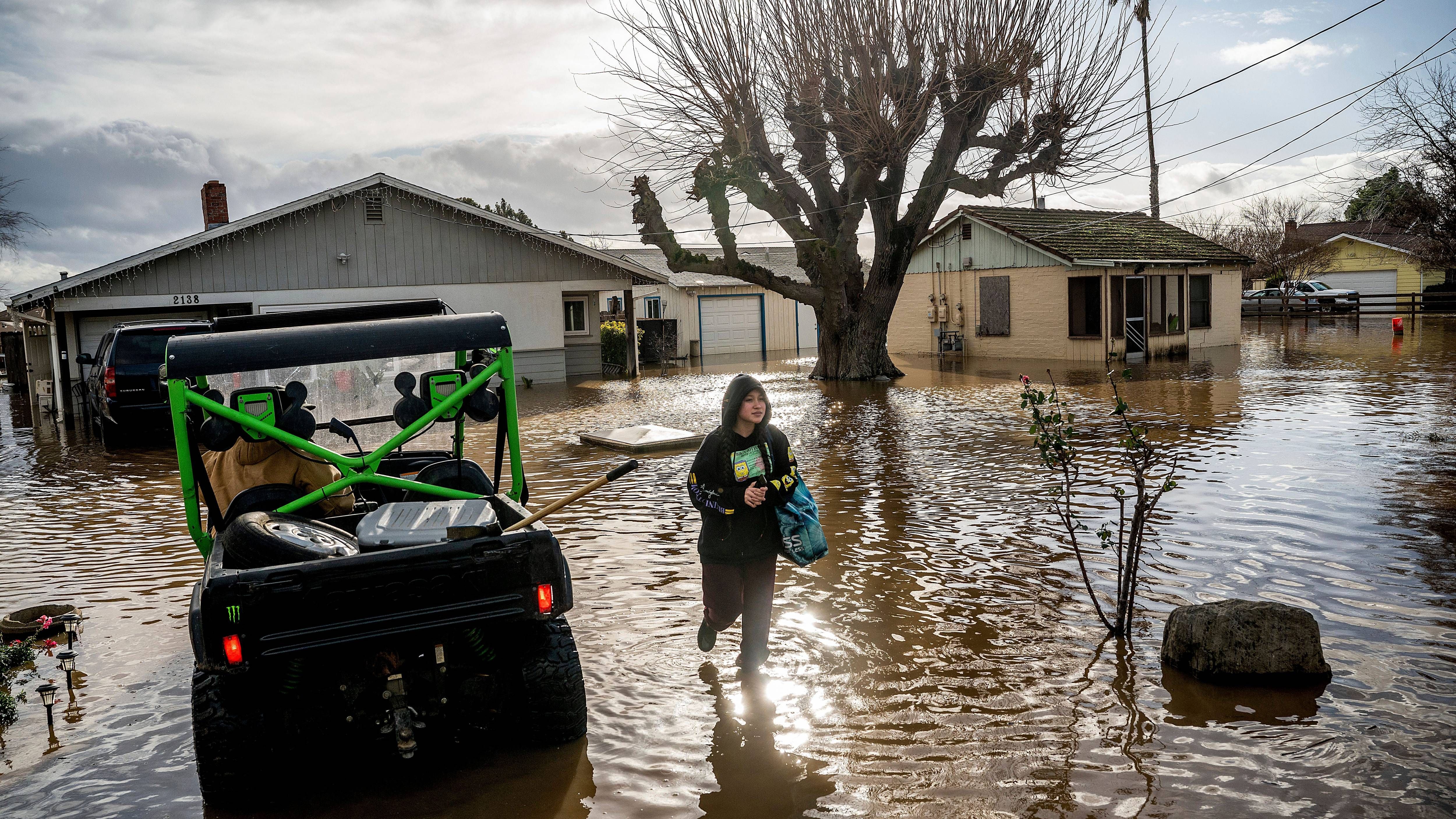
The wind has caused some scattered power outages around the Bay Area, according to PG&E.
As for the King Tides, "that's typically causing some minor coastal flooding," said Goss.
"Especially in the low-lying areas along the coastal trails and some coastal parking lots and so forth," he said.
Although the weather has warmed up on Monday and looks likely to continue to do so, people should still be careful.
"We are going to see another high tide again, later on, today," he said, which will peak at around noon.
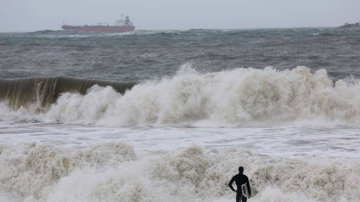
There's also a coastal surf advisory in effect as high swells could cause sneaker waves and some coastal flooding.
A Beach Hazard Statement was put out by NWS to stay in effect until Tuesday night.
DOWNLOAD the Audacy App
SIGN UP and follow KCBS Radio
Facebook | Twitter | Instagram