


PITTSBURGH (Newsradio 1020 KDKA) - Pittsburgh will get close to a record high of 64 degrees Thursday but enjoy it while it lasts because it's going to get cold again Friday but not before strong rain rolls through the area.
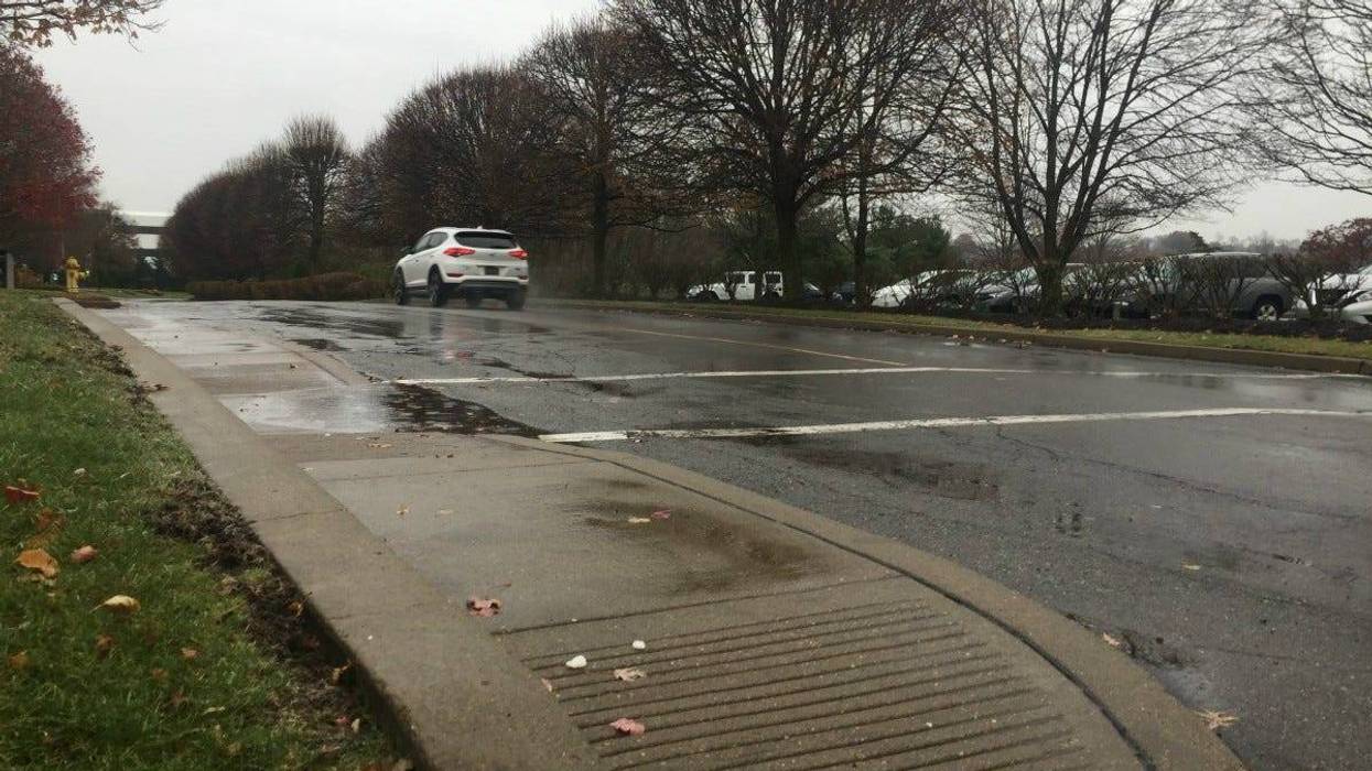
With heavy rains expected tonight a flood watch in effect until Friday morning at 7 and a flood advisory in in effect for the Ohio River in Pittsburgh. The Mon Warf will be closed Friday and all vehicles must be gone by 7 p.m. Thursday.
AccuWeather's Elliot Abrams told Larry and John on KDKA Radio there is even potential for rare winter thunderstorms.
Here is what we are expecting for rainfall totals this afternoon/evening. Rain will be pushing in after lunch time. An isolated thunder can not be ruled out (more likely for our Ohio counties). Small streams/creeks may rise quickly and cause minor flooding. pic.twitter.com/SJnnCyS494
— NWS Pittsburgh (@NWSPittsburgh) February 7, 2019Then overnight, a cold front comes through and temperatures drop into the 20s by tomorrow morning.
"It's not going to be as cold as last week but you're standing out there 9 o'clock (Friday) morning you're not going to say 'oh this is great this is 20 degrees higher than last week', it's going to feel real cold.
Abrams adds Friday will be the worst day of the weekend with conditions getting slightly better Saturday and Sunday.
"It will ease up Saturday afternoon the wind will be weaker and Sunday won't be too terribly cold."
Expect a high of 38 Sunday and Monday. Snow could arrive late Sunday.
___Follow KDKA Radio: Facebook | Twitter | InstagramListen to KDKA Radio on the Radio.com App - Download Now