


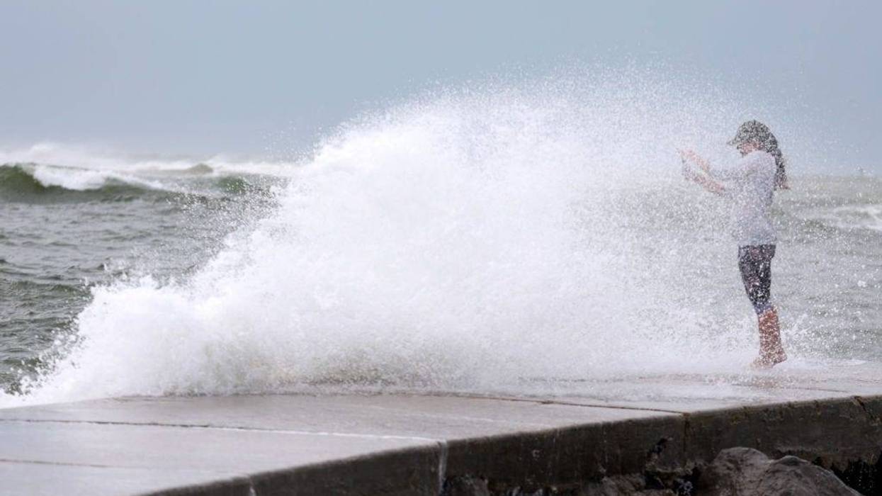
Hurricane Helene is expected to slam into Florida late Thursday as a dangerous category 3 or 4 hurricane.
"widespread extreme property" damage is possible in many areas along the coast when it hits.
But, what kind effects will the Pittsburgh area feel when the storm's remnants make its way north?
Meteorologist Bill Modzelewski with the National Weather Service tells KDKA Radio the first thing people will notice is the wind picking up and it will be cloudy.
"Looks like the winds will be increasing through the day," said Modzelewski. "We'll have some gusts to around 30 miles per hour."
Into the Laurel Highlands, gusts could get up around 35 to 38 miles per hour.
Light rain is expected to fall in the afternoon, but most of the rain will stay off to the west in Ohio and into the Midwest.
Modzelewski adds the remnants of Helene will drift eastward but will be "much weaker."
Some rain is expected to come back into the area late Saturday into Sunday morning.
"Looks like amounts, generally for the Pittsburgh area . . . quarter to a third of an inch or so, so nothing too terribly heavy."