


Temperatures this Christmas weekend are going to be even colder than previously forecasted.
A large cold air mass from the arctic is going to affect a large portion of the United States and Western Pennsylvania is no exception.
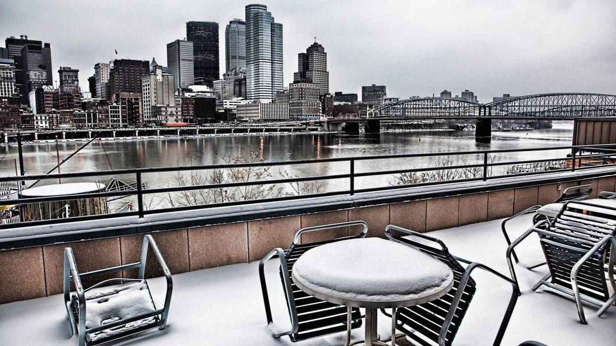
Temperatures on Thursday will start in the low 40s with heavy rain but then it gets cold, really cold.
AccuWeather meteorologist Latroy Thornton says temperatures could drop 30 to 35 degrees in a short six hour period.
"This is a very strong cold front, a very strong storm and temperatures just don't fall this quickly, this far, I mean 30-35 degree temperature drops in six hours is impressive," said Thornton.
As the temperature falls quickly, what is wet will freeze and then one to three inches of snow is expected to fall.
Then it gets windy, gusts up to 40 mph will make the air feel frigid on Friday with a low of three.
Then on Saturday, the high temperature isn't expected to get out of the single digits with real feels well below zero.
If you have to be outside on Christmas Eve, medical professional say to make sure you have plenty of layers and have somewhere to go to warm up.
The Steelers play on Saturday night at home so if you're going, make sure you're prepared and layered.
Things don't improve much on Christmas Day with a high of 14 degrees, making for one of the coldest December 25ths in history.
Cold weather continues early into next week with temperatures finally breaking freezing on Wednesday.
Looking even further ahead, New Year's Eve temperatures could hit 50.


