


'Dangerously cold' winter weather is back in the forecast for the Midwest, East Coast
Winter is expected to be in full effect in the Great Lakes and parts of the East Coast this weekend, according to the National Weather Service. Some local NWS offices were even predicting dangerous conditions.
“Moderate to heavy lake-effect snow downwind from Lake Ontario on Friday; light to moderate lake-effect snow downwind from most of the Great Lakes Thursday evening into Friday,” said a forecast from the NWS for Thursday through Sunday. It added that “temperatures will be 10 to 20 degrees below average over parts of the Upper Midwest.”
According to a Thursday report from USA Today, the weather service in Duluth, Minn., warned of “dangerously cold wind chills as low as 35 below zero,” that “could cause frostbite on exposed skin in as little as 10 minutes.”
By Thursday evening, the Duluth NWS was predicting just one more cold night and warming temperatures over the weekend. However, a wintry mix of snow, freezing rain, and sleet possible was still on the forecast for Saturday.
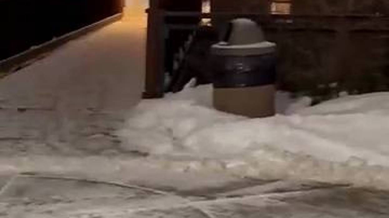
In Detroit, Mich., WWJ Newsradio reported Thursday that between 1 and 4 inches of snow were already on the ground throughout metro Detroit and that wind gusts of about 30 to 40 miles per hour were blowing the snow about. With this weather also came dangerous traffic issues.
WWJ reported that there were “crashes abound” on metro roads and that state officials had reported at least 86 crashes in Wayne, Oakland and McComb counties over a 24-hour period. The station reminded motorists to remain 200 feet behind snow plows.
NWS Chicago said Thursday evening that a band of snow was expected to continue across portions of central Illinois and Indiana, “resulting in slippery travel due to snow covered roads.” WBBM Newsradio reported Thursday that “bitter cold,” had arrived in Chicago with a high of just 18 degrees.
Meanwhile, NWS Twin Cities reported snow, freezing rain and a messy weekend ahead.
“A wintry mix will develop over Iowa and lift northward into southern MN late Friday night,” it said. “Precipitation is expected to start out as a Wintry Mix of snow, sleet, and freezing rain, eventually becoming just freezing rain Saturday morning across Southern Minnesota. Snow [and] Ice could lead to travel impacts Friday night and Saturday on untreated surfaces. Precipitation expected to transition to snow as it ends Saturday afternoon.”
NWS said that cold high pressure over the Upper Mississippi Valley will move eastward to the Northeast by Saturday. It is expected to bring temperatures 10 to 20 degrees below average over parts of the Upper Midwest.
“Upper-level energy moving over the Great Lakes will produce light to moderate lake-effect snow downwind from most of the Great Lakes Thursday evening into Friday,” NWS explained. “However, moderate to heavy lake-effect snow will develop downwind from Lake Ontario on Thursday evening into Friday. By Saturday, most of the lake-effect snow will wane.”
Moving further east, NWS Mount Holly near Philadelphia, Pa., said Thursday that: “High temps are going to be 25-30 degrees lower than high temps on Wed!!! Isolated snow showers possible in the Poconos this morning, but snow accumulations should be very light.”
In New York, Gov. Kathy Hochul reminded people Thursday to take precautions due to lake effect snow storms. A State of Emergency was in effect there for several counties heading into Friday.
In Buffalo, N.Y., Elizabeth Carey of AAA joined WBEN to discuss hazards on the roads amidst the snowy weather. She said Thursday that the service in that area had already received more than 1,000 more calls than it does on a typical Thursday and many were from people who were in cars that veered off the road.
Last week, the National Oceanic and Atmospheric Administration released a warning about snow squalls, calling them one of the “most dangerous and underplayed winter hazards” on roadways.
“A snow squall is a brief period of intense snowfall and wind that leads to whiteout conditions, zero visibility, a possible flash freeze and dangerous traffic accidents,” said NOAA. “Snow squalls are most common in the northern U.S. – especially around the Great Lakes – between the months of November and March.”
Citing the Department of Transportation, NOAA added that “over 1,300 people are killed and more than 116,800 people are injured in vehicle crashes on snowy, slushy or icy pavement annually.”
To stay safe during squalls, NOAA recommends the following: delaying travel until dangerous squall conditions pass, enabling wireless emergency alerts on mobile phones, driving defensively and remaining calm.
AAA’s Carey also offered some advice.
“So what you should do is if you go off the road – stay in your vehicle, stay in your seatbelt and call for help, and you can call 911 for a situation like that,” she said. Carey explained that “what happens is if you get out of the car, another car is likely to follow that same path, follow the same skid, slippery conditions, and you could be struck.”
However, she did note one exception: when snow is piling up so quickly that it could cover the exhaust pipe and allow carbon monoxide into vehicles. In that case, she suggests quickly clearing the pipe and keeping the window cracked slightly while waiting in vehicles.
Another tip from Carey is to put an emergency kit in cars that include phone chargers, snacks, water, a blanket and anything else needed to stay comfortable.