


A Southwest Illinois engineering firm has gone beyond scopes on tripods, to a multitude of other surveying tools that help create geospatial information for clients.
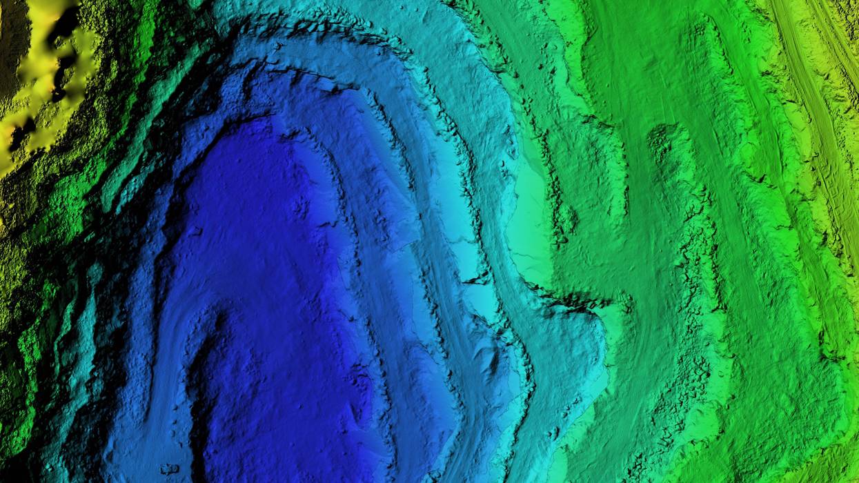
Swansea-based TWM is one of the largest firms in the region. Chief Operating Officer Derek Twente tells KMOX's Total Information AM, one of the tools they use is lidar -- pulsed lasers to measure distances. They've even taken that technology to the skies with drones and other UAVs (unmanned aerial vehicles). Twente says they're able to now cover a bigger area in a shorter amount of time. "One of the advantages that we've seen and the biggest role that technology has played for us is addressing capacity."
He points out, aerial systems assist in difficult terrain as well, "it could be a cornfield that has corn standing ten feet tall, it could be rolling terrain." Twente says it improves safety for surveying crews. TWM also uses hydrographic and GIS data.
He explains, "data is the new gold." Twente says with geospatial technology the firm can provide all the data in one format. "You're missing nothing. We're not just taking shots every 50 feet or 25 feet, we have a full [view] of the entire site. It's harder for things to get overlooked." And he adds there is less need to return to the site to gather more data.
He says the technology is evolving very quickly, and he anticipates AI will soon help make the large amounts of data his firm generates even more useful.
@2023 Audacy (KMOX). All rights reserved.


