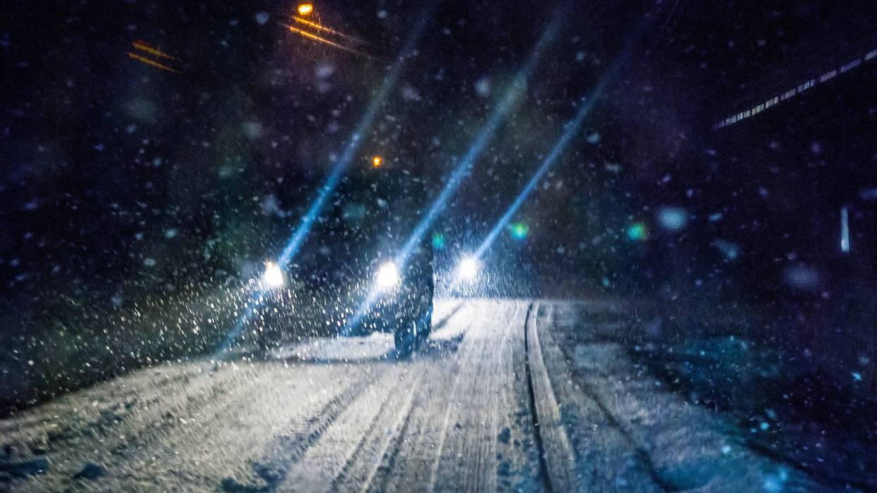
Serious winter weather is forecast for south central Kansas. The National Weather Service has issued a Winter Storm Warning for 13 counties in southeast and south central Kansas from 9 o'clock tonight until 6 a.m. Thursday. Total snow accumulation is a possible 5 to 7 inches.
According to the warning a brief icy mix will mark the transition from rain to snow. The NWS only expects a small amount of ice accumulation.
The Warning includes Rice, McPherson, Marion, Reno, Harvey, Butler, Kingman, Sedgwick, Harper, Sumner, Cowley, Elk, and Chautauqua Counties.
The City of Wichita reports that their storm prep is ready to handle the expected winter storm. Road crews are fully staffed with 6-thousand-tons of a salt and sand mix to spread on city streets when needed. That also leaves almost 18-thousand-tons of salt in reserve.
The NWS says impacts of the storm will be slippery road conditions, blowing snow reducing visibility, and wind chills as low as -15 degrees. To check road conditions before traveling visit the Kansas Department of Transportation's kandrive.org.