A brief but substantial storm is expected to bring heavy rain, thunderstorms, and possible flooding to Southern California on Tuesday.
The rain could begin as early as late Monday night and is expected to produce between three-quarters of an inch to 1.5 inches of precipitation across most areas, according to the National Weather Service.
Hail and gusty winds are threats, with waterspouts or a weak tornado possible, the agency added.
"The peak of the storm remains focused on (Monday night) through Tuesday afternoon," according to the NWS. "... Rain rate forecasts will likely be increased, especially for any south- and southwest-facing slopes. Nearly every high-resolution model is showing streaks of heavy rain moving through the region, and while not every area will see them, these narrow bands could happen anywhere. Several of the projections are now showing the rain the organizing and intensifying as it swings into LA County, which is concerning for the recent burn scars -- especially the Eaton and Bridge scars."
In advance of the rain, evacuation warnings were posted for most recent burn scar areas, including the Palisades and Eaton fires, along with the Hurst Fire in Sylmar and the Sunset Fire in the Hollywood Hills. Residents were urged to prepare to evacuate due to the possibility of flooding and debris flows.
The NWS advised residents to take precautions, remain indoors as much as possible and avoid parking vehicles near tall trees that could be uprooted.
"Avoid the roads as much as possible, and if you have to drive, allow extra time as traffic will be increased due to slippery roads, low visibility, and localized flooding," forecasters said. "If you are near a burn scar, there is a risk of significant debris flows. Heed the advice of local officials, and expect at the very least mud and debris on some roads."
A flood watch will be in effect Monday night through Tuesday evening in recent burn areas in Los Angeles, Ventura, Santa Barbara and San Luis Obispo counties, with forecasters saying the storm has the potential to trigger "hazardous and damaging flooding and debris flows."
As of Monday morning, peak rainfall rates of one-quarter to one-half inch of rain per hour were being anticipated, with a slight chance of some areas seeing rates of 1 inch per hour if thunderstorms or heavy showers develop.
The storm system is also expected to bring gusty south to southwest winds Monday night and Tuesday across the Los Angeles County mountains and the Antelope Valley foothills.
Temperatures will drop dramatically Tuesday, with highs staying in the low 60s in most parts of Los Angeles and Orange County. By Wednesday night, the rain will have moved on. Cooler temperatures were expected to continue into Thursday, followed by a "warming trend" for the end of the week.
Want to get caught up on what's happening in SoCal every weekday afternoon? Click to follow The L.A. Local wherever you get podcasts.
KNX News’ Jon Baird spoke with Brenda, a homeowner in the Hastings Ranch area, who says she feels prepared for the storm.
“Last time we had rain, we all worried that something was going to happen, and nothing happened,” she said. “So, I think we're hoping that this is going to happen again because we need the rain, yet at the same time we're going to keep an eye out, and I think the city does support us if we need anything, and we're just going to see what happens, but we hope for good things.”
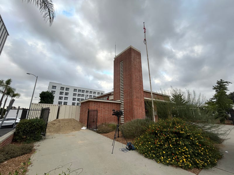
Baird also spoke with Lisa Derderian, a spokesperson for the city of Pasadena, about the preparations being made.
“We have the K-rail that has been installed for several months now, sand, and sandbags,” she said. “We've knocked on the door of residents who are in the impacted area, so we encourage the residents in the affected area, if you need to leave for peace of mind for a few days, do so.”
She added that the city has plenty of sandbags and that they will be replenished accordingly.
Sandbags are available at Pasadena Fire stations 37 and 38 for those who need them.
Follow KNX News 97.1 FM
Twitter | Facebook | Instagram | TikTok
