


Los Angeles (KNX) - The mountains will see blizzard conditions while the coasts and valleys will get soaked with rain as the worst of a rare storm system is slowly moving into southern California.
KNX IN Depth spoke with Weather Channel meteorologist Scott Larimore to get a better picture of what's in store for the storm.
While many areas of LA and OC have seen unusual weather patterns over the last day, Scott says the worst has yet to come, "I think it's going to be pretty intense for us [Friday]."
Scott is referring to Thursday as the preview, expecting rain and snowfall to double, possibly triple, in the coming days to the tune of three to four inches of rainfall downtown and multiple feet of snow for the mountain areas.
It's clear that officials agree - placing us under a flood watch that will take effect Friday with computer model imagery showing the heaviest rain, wind, and snowfall around midnight Friday night into early Saturday morning.
Here's how things look as of Thursday afternoon:
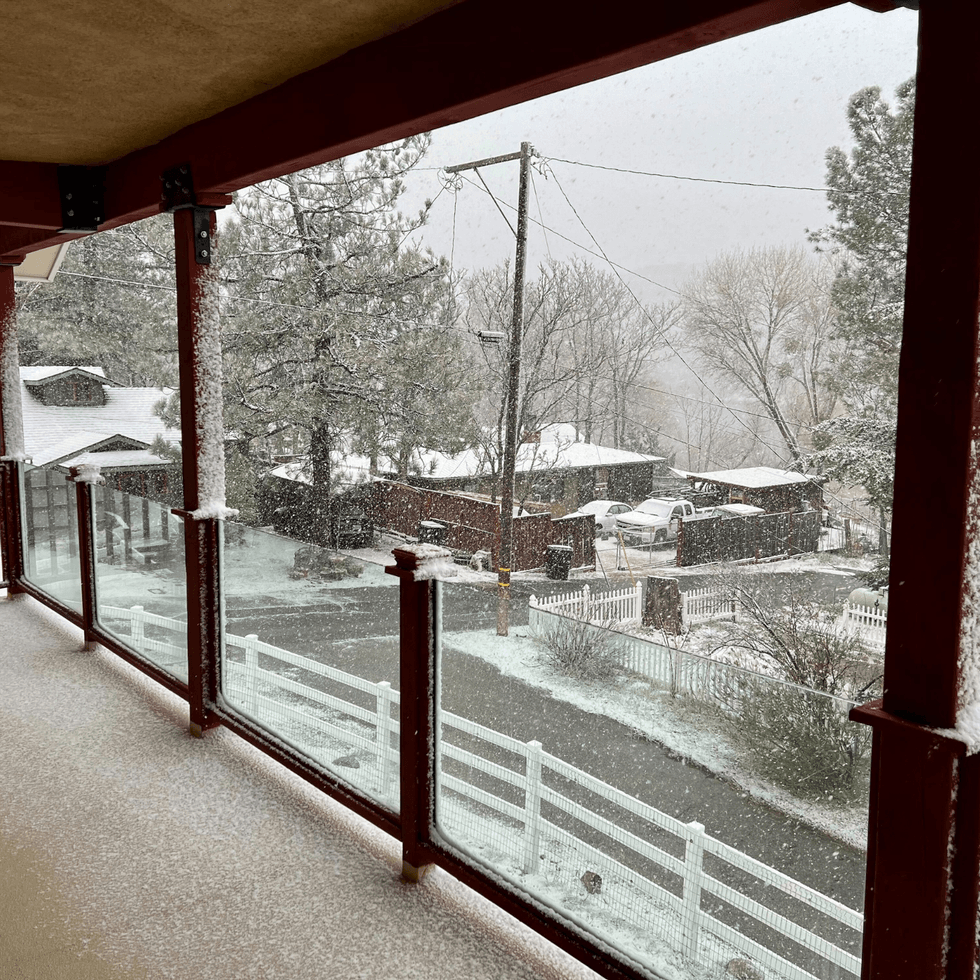 Lake Hughes during the building snowstorm in SoCal - elevation of 3200 feetDamon Stewart
TUNE IN TO KNX NEWS FOR LIVE UPDATES ON THE STORM OR TELL YOUR SMART SPEAKER TO "PLAY KNX NEWS."
Follow KNX News 97.1 FM
Twitter | Facebook | Instagram | TikTok