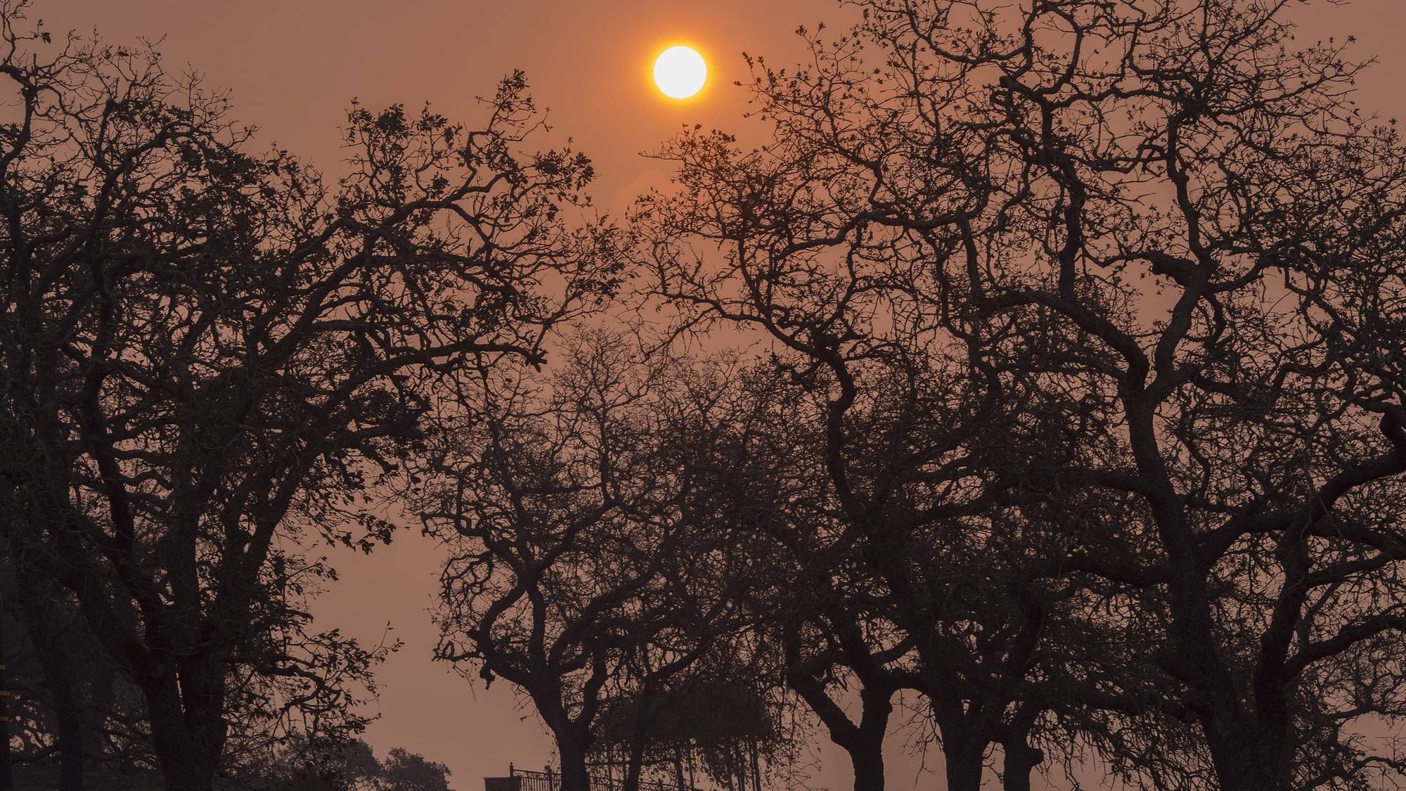


Live imagery of the wildfires in Northern California was captured yesterday by National Oceanic and Atmospheric Administration satellites.
The massive Dixie Fire was joined in Northern California by the River Fire on Wednesday after it ignited on the Nevada and Placer county line.
NOAA satellites are closely monitoring the two wildfires, which are currently at 35 percent containment and zero percent containment, respectively. The stunning satellite live image shows huge columns of dark smoke streaming into the sky over the West Coast as multiple blazes rage below.
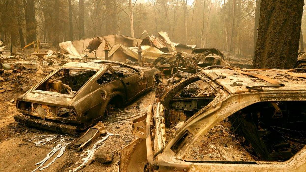
In one day the River Fire damaged 30 structures and destroyed 50 others.
The Dixie Fire has ravaged 322,502 acres of land in Butte and Plumas counties so far, including major damage in the town of Greenville.