It's time to dry out and warm up. A pretty benign 7-day forecast starts today.
After a bunch of rain over the past few days, it's time to dry out! A pretty strong cold front moved through the area yesterday afternoon, but not before some of you saw another two to three inches of rain. Water will continue to recede today as cool or dry air continues to move into the area.
We're starting this morning mainly in the mid to upper 40s. Plenty of sunshine, breezy and cool weather will dominate your outdoor pleasure. Afternoon highs will reach the low 70s. The average high this time of the year is 75°.
The wind relaxes tonight, but another cool start for Friday morning. Morning lows will dip into the upper 40s to low 50s, as our north wind relaxes.
A south wind returns Friday and the warm-up starts. Afternoon highs will reach 80°. These warm temperatures will continue into the weekend, as south winds pick up and gust to 30 mph. We will reach the low 80s on Saturday, and mid 80s on Sunday.
 National Weather Service - Fort Worth
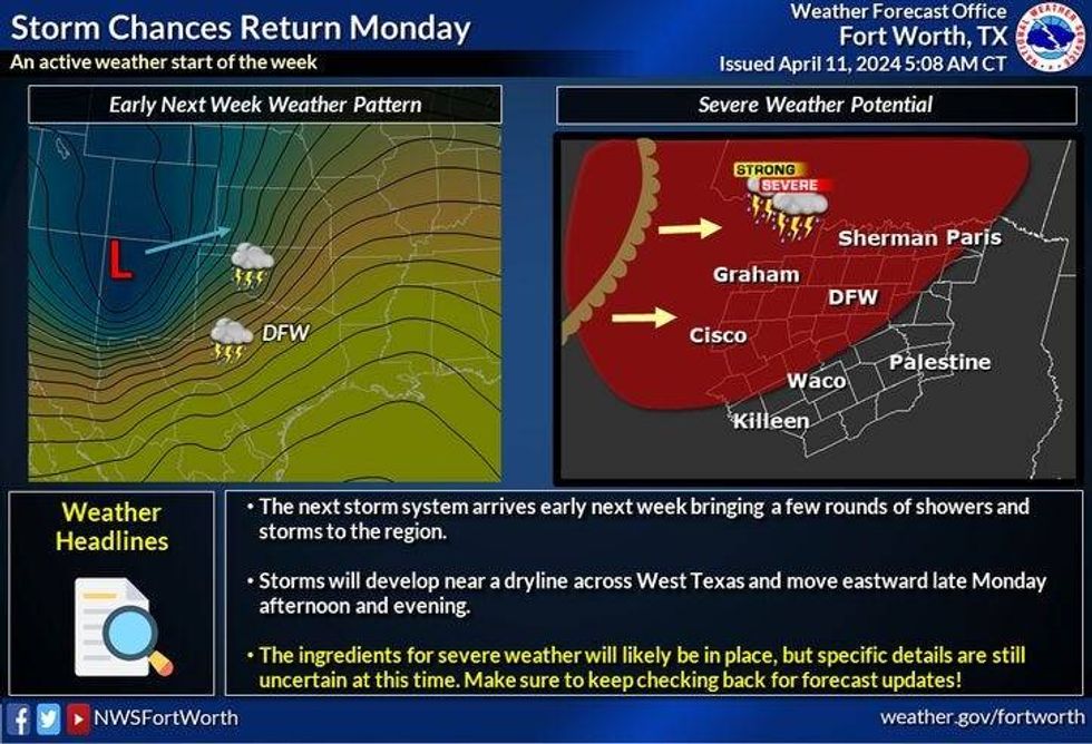
The mid-80s will continue Monday through Wednesday of next week with a slight chance for storms late Monday evening. We will have a very strong cap and place on Monday, so any storms that do move into our area will weaken somewhat.
*Yest Rain: 0.79"R; Yest High: 65; Low: 52
*Today's Averages: High: 75; Low: 54
*Record high: 96 (1948); Record low: 25 (1989)
*March Rain: 1.43"; Surplus: 0.45"
*2024 Rain: 12.23"; Surplus: 2.66"
*Sunrise: 7:03am; Sunset: 7:56pm
LISTEN on the Audacy App
Tell your Smart Speaker to "PLAY 1080 KRLD"
Sign Up to receive our KRLD Insider Newsletter for more news
Follow us on Facebook | Twitter | Instagram | YouTube